National Geographic
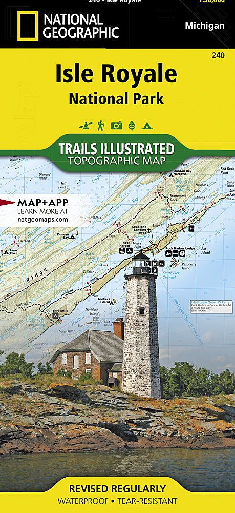
Isle Royale National Park Trails Illustrated Topographic Map #240
Isle Royale National Park Trails Illustrated Topographic Map #240
Couldn't load pickup availability
Share
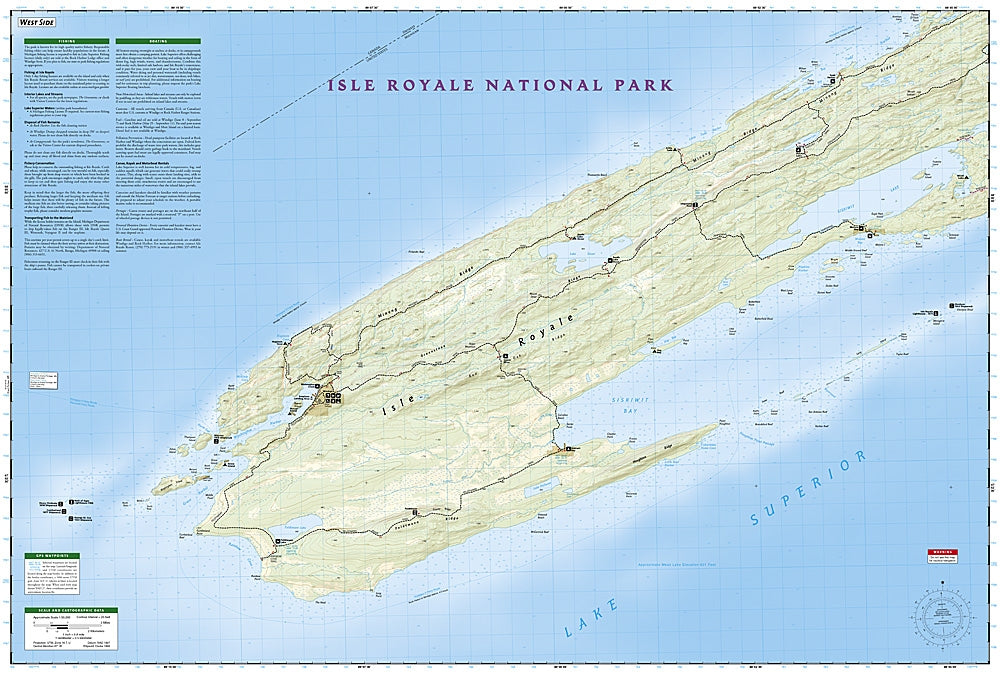
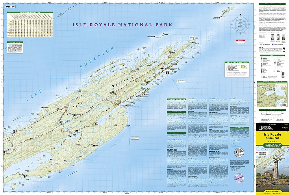
Set in the heart of Lake Superior, Isle Royale National Park is a rugged wilderness of untamed beauty, and the National Geographic Isle Royale Trails Illustrated Topographic Map #240 is the ultimate guide to exploring it. Covering the entire island and surrounding waters, this waterproof, tear-resistant map highlights the park’s top attractions, including the historic Rock Harbor Lighthouse, the visitor hub of Windigo, and the remote Passage Island. Hikers and paddlers will also find shipwreck sites, scenic lookout towers, and pristine backcountry campsites clearly marked.
Steeped in history, Isle Royale was once home to Native American copper mining and later became a hub for commercial fishing before being designated a national park in 1940. Today, its rugged trails, hidden coves, and wildlife—including moose and wolves—make it one of the most isolated and least visited parks in the U.S. This detailed map ensures your adventure is safe, informed, and unforgettable.
SKU: SKU:TRA240
View full details