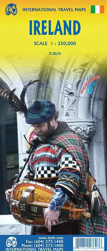
International Travel Maps
Ireland Travel Map
Ireland Travel Map
Couldn't load pickup availability
Share
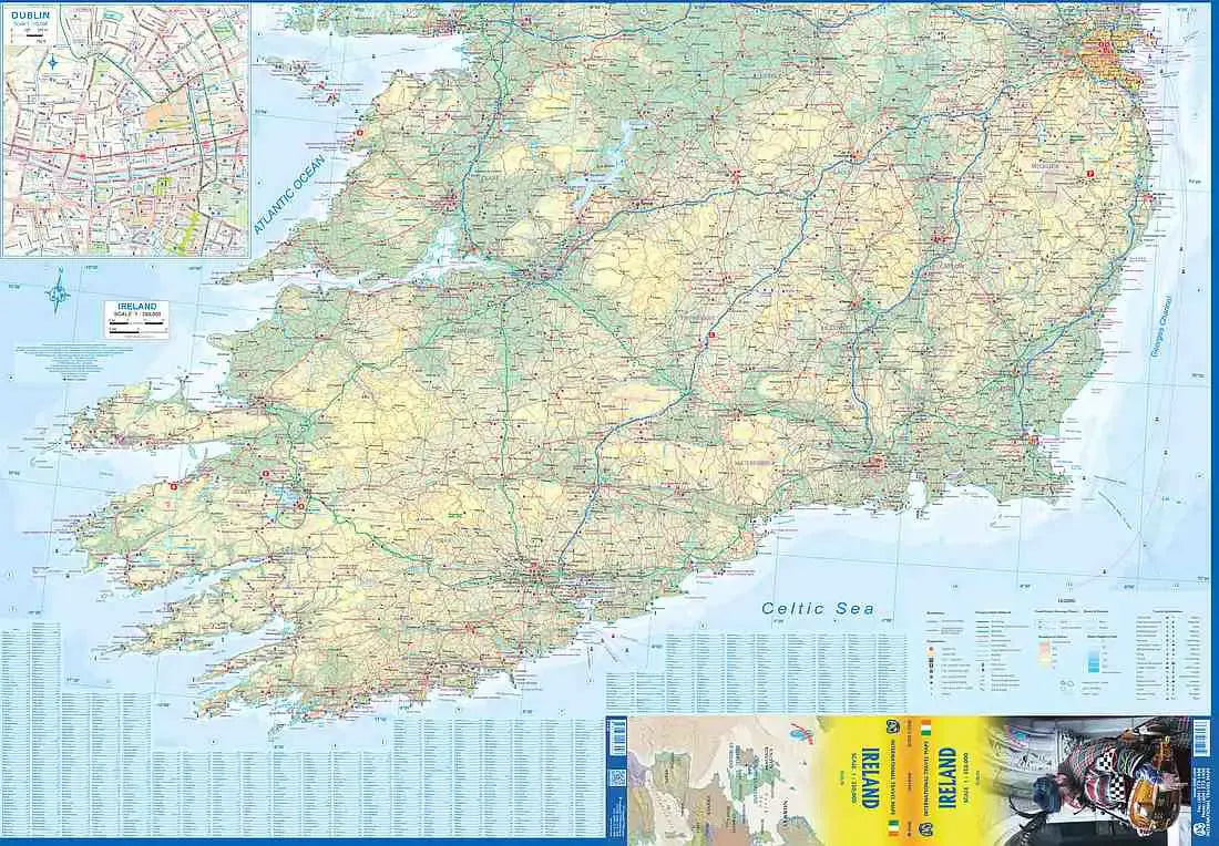
The Ireland Travel Map ITMB unfolds to reveal a comprehensive and detailed exploration of the Emerald Isle, capturing the essence of a nation steeped in rich history and divided both religion and time. In a testament to advancing technology, this map surpasses its predecessors in intricacy and clarity, presenting a vivid tapestry of Ireland's diverse landscapes and cultural nuances.
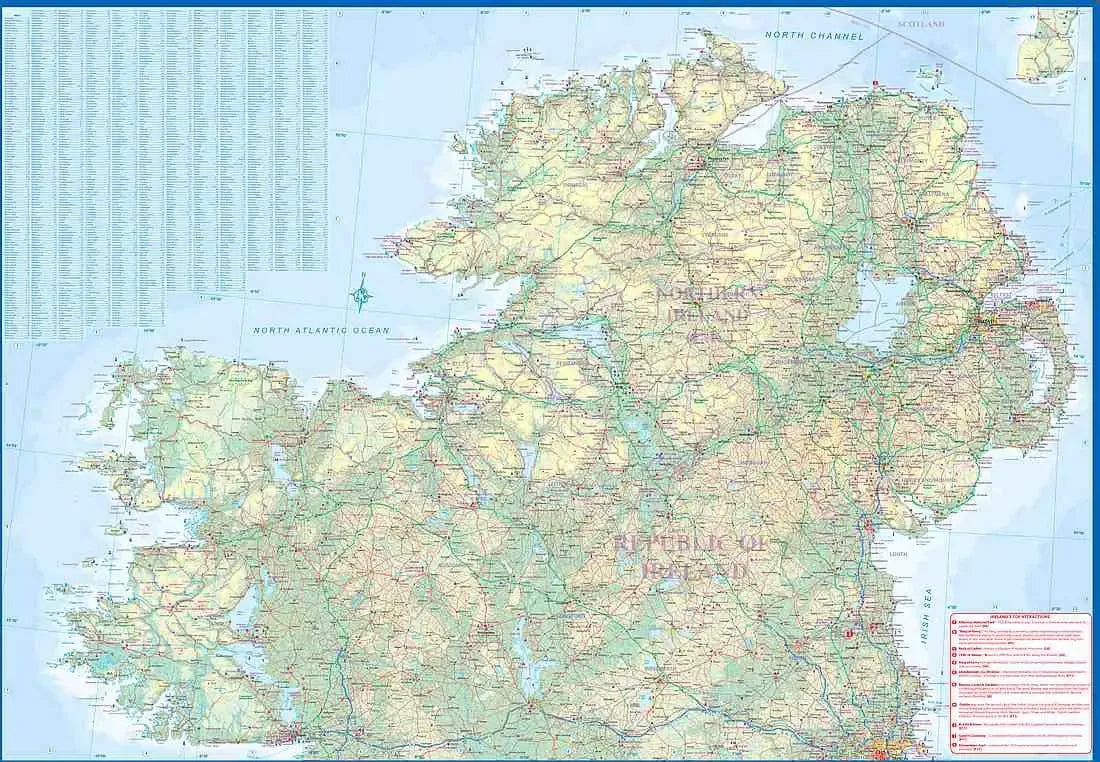
As a double-sided guide, the Ireland Travel Map slices the island into two geographical portions, reflecting the historical and religious divisions that have shaped its narrative. Side 1 encapsulates the northern half, encompassing the terrain known as Northern Ireland or Ulster and a substantial portion of the Republic of Ireland or Eire, extending north of Dublin and westward to the enchanting Counties Mayo and Galway.
On Side 2 of the Ireland Travel Map, the southern half unfolds, tracing the landscape from just north of Dublin to the picturesque outer reaches of County Kerry. Notably, this side boasts a detailed inset map of central Dublin, the vibrant capital that seamlessly blends modernity with tradition. All motorways, roads, and key travel information are meticulously charted, ensuring a seamless exploration of the Irish countryside.
Printed on waterproof paper for enhanced durability, the Ireland Travel Map becomes an indispensable companion for the intrepid traveler. The map's creators undertook an adventure across the island, delving into its hidden corners to compile a resource that captures the essence of Ireland's charm. Ireland is a popular travel destination, easily accessible and a delight to explore.
The two largest cities of Ireland, Dublin and Belfast, are prominently featured, their urban landscapes richly illustrated on the map. Moreover, two of Ireland's most beloved tourist attractions, the awe-inspiring Cliffs of Moher and the historic Giant's Causeway, find their place, beckoning adventurers to marvel at their natural splendor.