Ordnance Survey
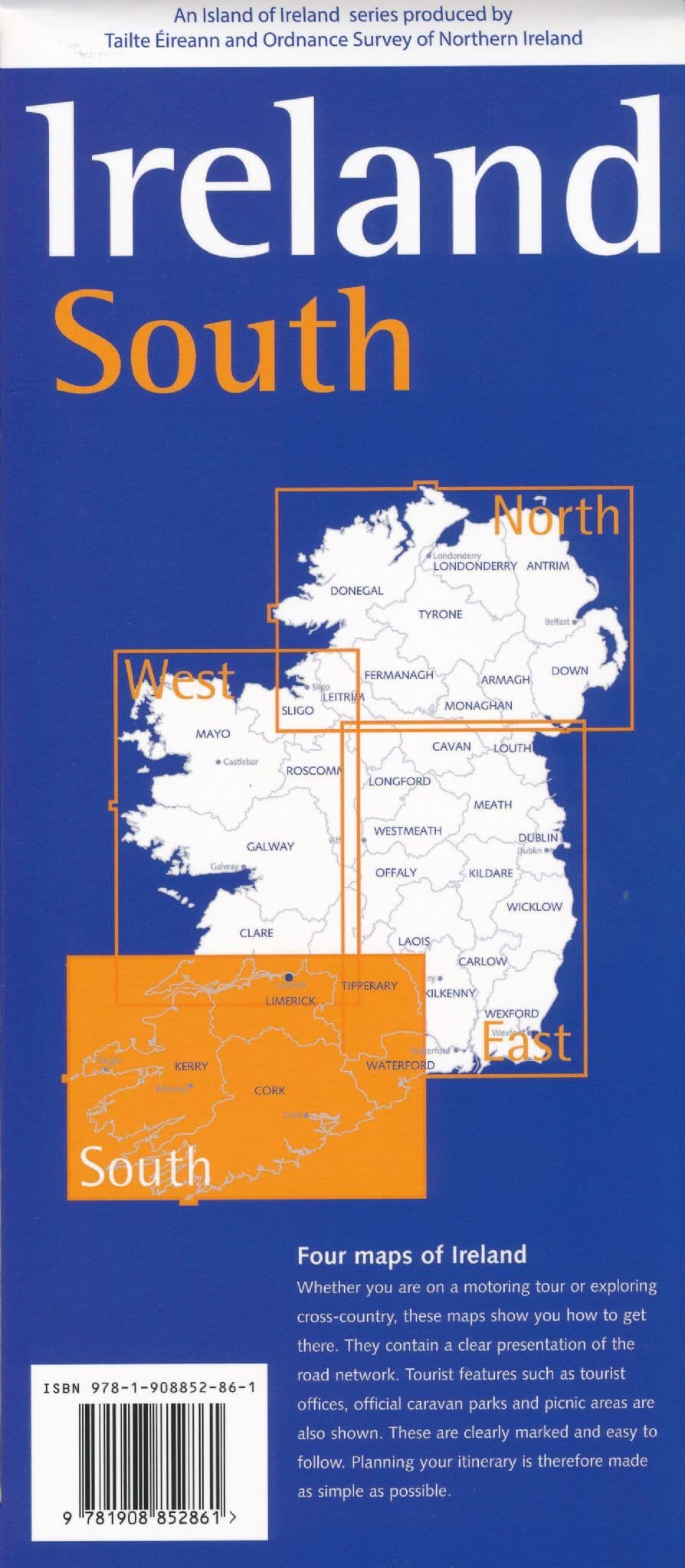
Ireland South Map by Ordnance Survey
Ireland South Map by Ordnance Survey
Couldn't load pickup availability
Share
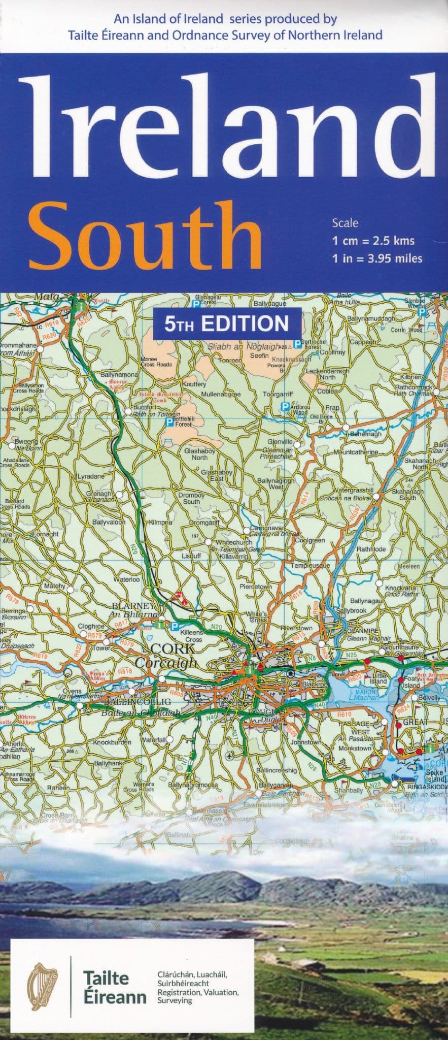
Discover the charm of southern Ireland with the Ordnance Survey Ireland South Road Map, your essential travel companion at a scale of 1:250,000. This detailed map brings the region to life with altitude coloring, clearly marked roads in six categories, and a wealth of tourist information.
Explore the dramatic heights of the MacGillycuddy's Reeks, home to Carrauntoohil, Ireland’s tallest peak, or enjoy the coastal beauty of the Ring of Kerry, one of the country’s most scenic drives. Journey into the past at the Rock of Cashel, a stunning medieval site rich with Irish legend.
Whether you're navigating winding country roads or seeking out golf courses, nature reserves, or historic landmarks, this map has you covered. It also features railway lines, woodlands, campgrounds, and more—all set against the backdrop of Ireland’s lush and varied topography. With a 10-km national grid and GPS-friendly ticks, it's the perfect map for planning unforgettable Irish adventures.