1
/
of
1
National Geographic
India Wall Map by National Geographic
India Wall Map by National Geographic
Regular price
$19.95 USD
Regular price
Sale price
$19.95 USD
Unit price
/
per
Couldn't load pickup availability
Share
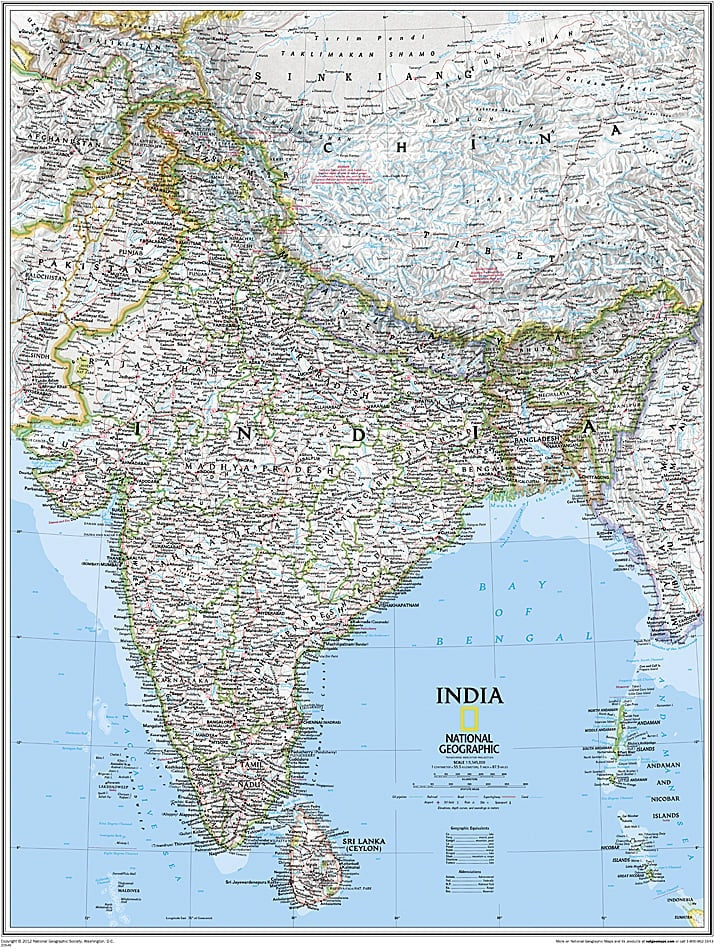
National Geographic’s India Wall Map is a striking blend of beauty and precision, perfect for classrooms, offices, or home exploration. This large 23.5" x 30.25" political map covers India in remarkable detail, including neighboring countries like Sri Lanka, Nepal, Bangladesh, Bhutan, Tajikistan, and parts of China, Pakistan, Afghanistan, and Myanmar.
Thousands of place names bring cities, towns, and landmarks to life, while shaded relief highlights India’s diverse landscapes, from the soaring Himalayas to the vast Deccan Plateau. The map also features key infrastructure, including airports, railroads, highways, pipelines, and canals, making it both educational and practical.
A unique geographical highlight: the state of Sikkim, nestled in the Himalayas, is home to Kanchenjunga, India’s highest peak and the third tallest mountain in the world. With its clear design and rich detail, this map offers an engaging window into India’s geography, culture, and natural wonders.