Ediciones Independencia
Hidalgo, Mexico State Road Map
Hidalgo, Mexico State Road Map
Couldn't load pickup availability
Share
From ancient pyramids to mountain villages, Hidalgo is packed with unforgettable discoveries—and this Hidalgo, Mexico State Road Map makes exploring every mile easy and exciting! Whether you're planning a road trip or uncovering hidden cultural treasures, this detailed folded map is the perfect travel companion.
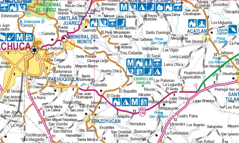
Published by Ediciones Independencia, this colorful Hidalgo State Road Map combines reliable navigation with valuable tourist information to help you experience one of Mexico's most fascinating states. At a scale of 1:357,140, the map clearly displays highways, secondary roads, railways, airports, political boundaries, population centers, and a handy distance chart in kilometers for effortless route planning.
Explore vibrant cities with detailed street maps of Pachuca, Actopan, Apan, Ixmiquilpan, Huejutla de Reyes, Tula de Allende, and Tulancingo. Each city map highlights main avenues, secondary streets, neighborhoods, ZIP codes, destinations, and popular places of interest, making sightseeing simple and stress-free. Detailed city scales include Pachuca (1:16,385), Tulancingo (1:25,365), and Tula de Allende (1:15,460).
History lovers will appreciate the inset map of the legendary Archaeological Zone of Tula, once the powerful capital of the Toltec civilization. Pair your visit with the spectacular basalt columns of Prismas Basálticos and the breathtaking landscapes of El Chico National Park for an unforgettable Hidalgo adventure.
Printed in Spanish with selected legends and a brief history in English, this durable folded map is an excellent resource for tourists, road trippers, and collectors seeking to discover the beauty, culture, and history of Hidalgo, Mexico.
SKU: SKU:MAPEIHID
View full details