National Geographic
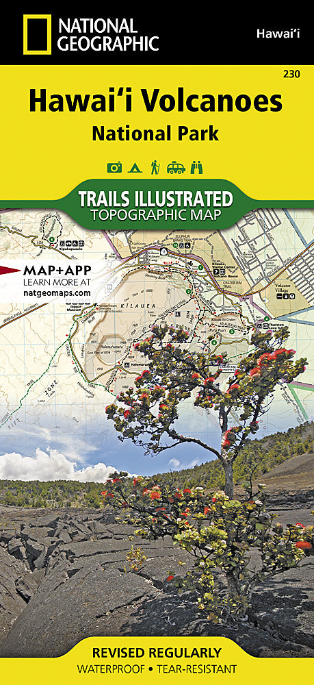
Hawaii Volcanoes National Park Trails Illustrated Topographic Map #230
Hawaii Volcanoes National Park Trails Illustrated Topographic Map #230
Couldn't load pickup availability
Share
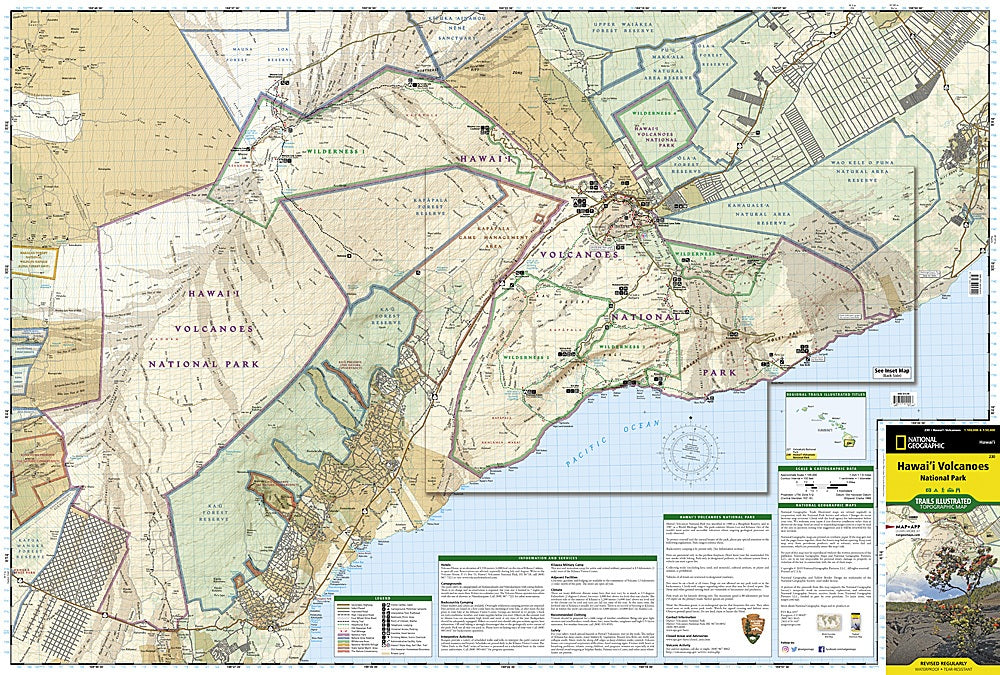
Explore the awe-inspiring landscapes of Hawaii Volcanoes National Park with National Geographic’s Trails Illustrated Topographic Map #230. This detailed map is your ultimate guide to one of the planet’s most extraordinary volcanic regions, home to Kīlauea, one of the world’s most active volcanoes, and Mauna Loa, the largest subaerial volcano on Earth. Hike through iconic attractions like the dramatic Kīlauea Caldera, the scenic Chain of Craters Road, and the lava-sculpted Puʻu Loa Petroglyphs, while discovering native flora and fauna that call this volcanic wonderland home.
Expertly crafted with trails clearly marked by difficulty and mileage, day-hike charts, road types, recreation points, and amenities, this map ensures every adventure is safe and informed. Printed on durable, waterproof, tear-resistant paper with contour lines, elevations, and a UTM grid for GPS navigation, it’s perfect for both casual visitors and backcountry explorers. Navigate Hawaii’s volcanic heart like a pro.