National Forest Service
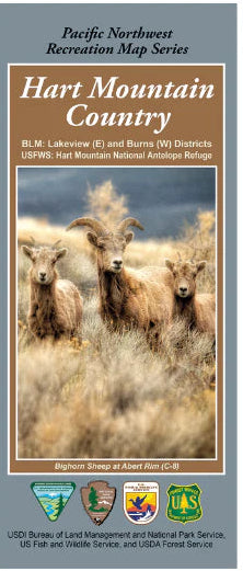
Hart Mountain Country - Pacific NW Recreation Map Series USFS
Hart Mountain Country - Pacific NW Recreation Map Series USFS
Couldn't load pickup availability
Share
Discover the rugged beauty of southern Oregon with the Hart Mountain Country Pacific NW Recreation Map. Centered between the Klamath Basin and Steens Mountain, this detailed two-sided Forest Service map highlights Sheep Mountain, Dry Valley, Alkali Valley, Hart Lake, Lake Abert, and the famed Hart Mountain National Antelope Refuge.
Explore over 422 square miles of high desert landscapes where pronghorn antelope roam, sagebrush seas stretch to the horizon, and wildflowers color the terrain. Birdwatchers will love spotting raptors and migratory species. History echoes through the region with its Indigenous heritage and homesteader past.
The map’s color-coded land designations (BLM, US Fish & Wildlife, State Lands) ensure seamless navigation. Whether hiking, wildlife viewing, or driving scenic byways, this map is your gateway to an unforgettable Oregon adventure.