NOAA
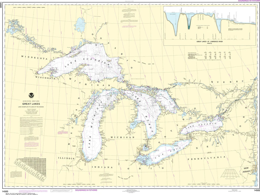
Great Lakes Nautical Chart 14500 - Lake Champlain to Lake of the Woods
Great Lakes Nautical Chart 14500 - Lake Champlain to Lake of the Woods
Couldn't load pickup availability
Share
Chart a course through North America's legendary inland waterways with Nautical Chart 14500! Whether you're a Great Lakes enthusiast, history buff, sailor, or collector, this impressive chart is your gateway to some of the continent's most iconic freshwater routes.
Nautical Chart 14500 spans an enormous area from scenic Lake Champlain in the east to rugged Lake of the Woods on the Canadian border, including all five Great Lakes—Superior, Michigan, Huron, Erie, and Ontario. It showcases famous destinations including Green Bay, Georgian Bay, the Straits of Mackinac, Niagara River, Detroit River, and the St. Lawrence River.
This vast waterway played a pivotal role in the fur trade, westward expansion, and the War of 1812, making it one of North America's most historically significant maritime regions. Printed at a scale of 1:1,500,000, the generous 46" x 36" format offers an impressive overview perfect for display, trip planning, education, or maritime collections.
SKU: SKU:NOS14500
View full details