National Geographic
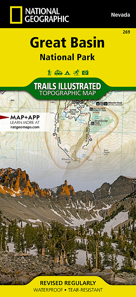
Great Basin National Park Trails Illustrated Topographic Map #269
Great Basin National Park Trails Illustrated Topographic Map #269
Couldn't load pickup availability
Share
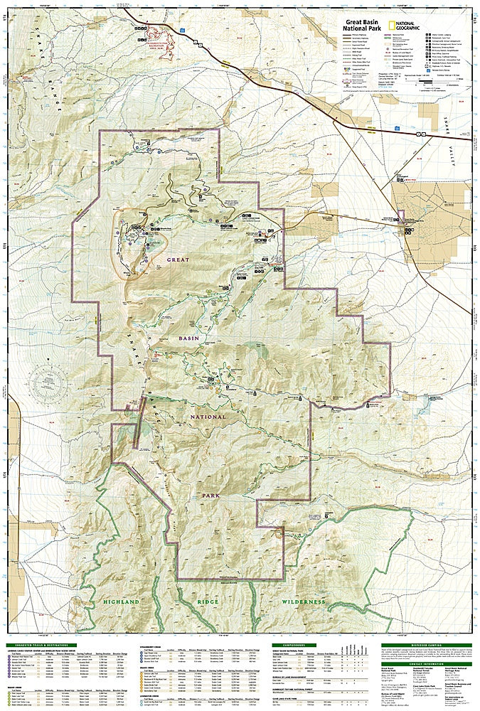
The Great Basin National Park Trails Illustrated Topographic Map #269 by National Geographic is the ultimate companion for exploring one of Nevada’s most spectacular natural treasures. Covering the diverse landscapes of the Snake Range, this waterproof, tear-resistant map highlights iconic attractions like the marble-filled Lehman Caves, the ancient bristlecone pine groves, and the soaring 13,063-foot Wheeler Peak, the second-highest mountain in Nevada. With detailed contour lines, trail networks, and insets of the Wheeler Peak and Baker Lake areas, this map ensures hikers, campers, and adventurers can navigate confidently through alpine forests, desert basins, and glacier-carved valleys.
Great Basin National Park is not only a haven of biodiversity but also rich in history, with evidence of Fremont culture and pioneer settlement shaping the region. Its remote location in eastern Nevada guarantees pristine wilderness and some of the darkest night skies in the country—perfect for stargazing after a day of exploration.