National Geographic
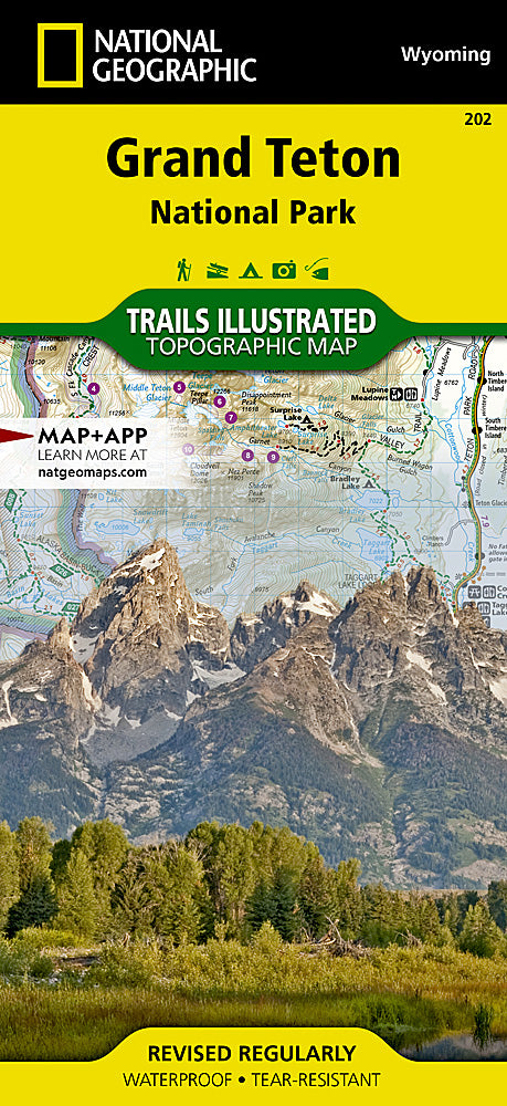
Grand Teton National Park Trails Illustrated Topographic Map #202
Grand Teton National Park Trails Illustrated Topographic Map #202
Couldn't load pickup availability
Share
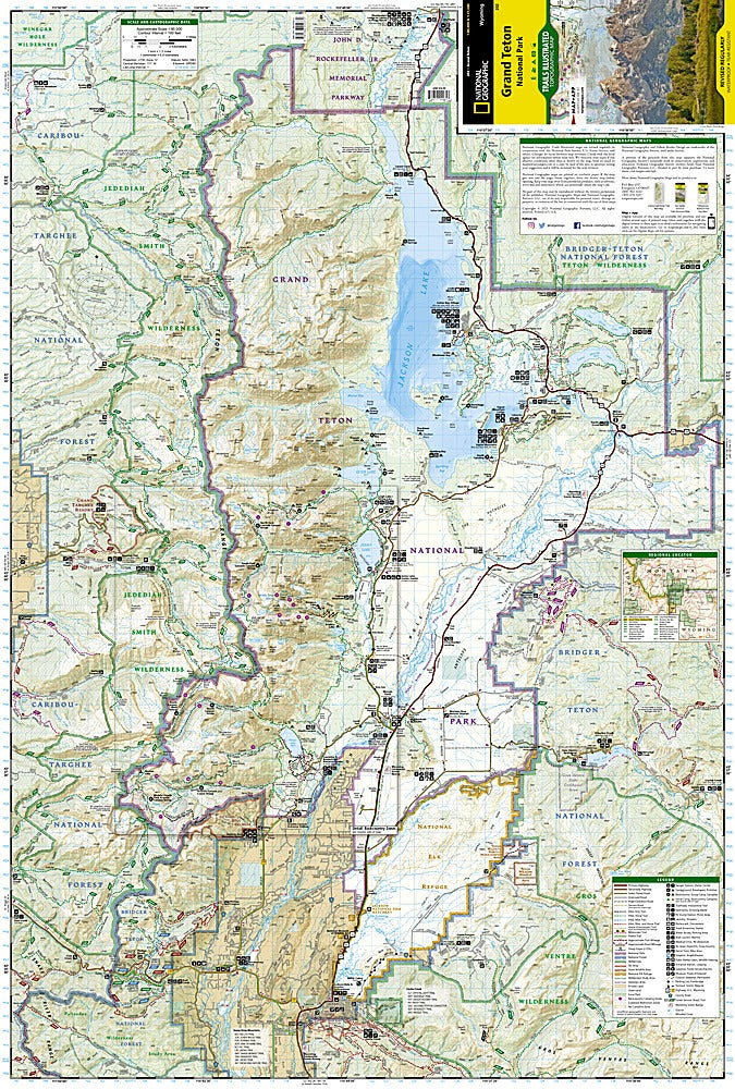
National Geographic’s Grand Teton National Park Trails Illustrated Topographic Map #202 is the ultimate companion for adventurers exploring this iconic Wyoming landscape. Covering the rugged Teton Range and surrounding wilderness, this waterproof, tear-resistant map highlights over 250 miles of trails, from short day hikes to epic backcountry routes. Discover Jenny Lake, one of the park’s most photographed gems, paddle along Jackson Lake with its stunning mountain backdrop, or hike the renowned Teton Crest Trail for panoramic alpine views.
Steeped in history, Grand Teton National Park preserves the dramatic peaks first climbed by early mountaineers in the late 1800s and protected in large part thanks to conservationist John D. Rockefeller Jr. The map also details connections to the Bridger-Teton and Caribou-Targhee National Forests, plus the Gros Ventre and Jedediah Smith Wilderness areas, offering endless exploration. With trailheads, campgrounds, and scenic overlooks clearly marked, this map ensures you’ll navigate confidently through one of America’s most breathtaking national parks.