National Geographic
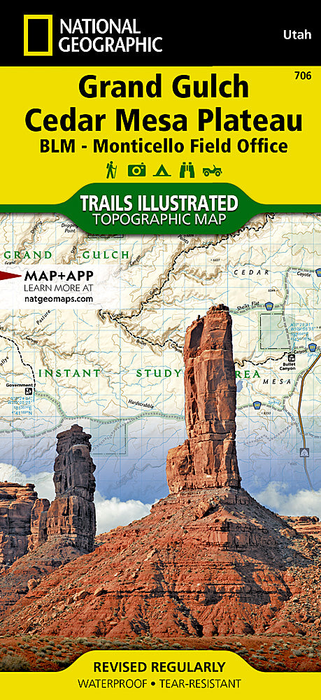
Grand Gulch Cedar Mesa Plateau Trails Illustrated Topographic Map #706
Grand Gulch Cedar Mesa Plateau Trails Illustrated Topographic Map #706
Couldn't load pickup availability
Share
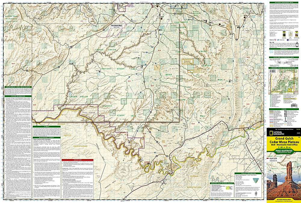
National Geographic’s Grand Gulch Cedar Mesa Plateau Trails Illustrated Topographic Map #706 is the perfect companion for exploring one of the Southwest’s most fascinating landscapes. Covering the rugged canyons and mesas of southeastern Utah, this waterproof, tear-resistant map highlights popular trails and hidden gems alike.
Discover the ancient cliff dwellings and rock art of Grand Gulch, hike the dramatic landscapes of Fish and Mule Canyons, or venture into the stunning Glen Canyon National Recreation Area. Rich with history, the region was once home to Ancestral Puebloans, whose cultural remnants can still be found along the canyons’ walls. The map includes a detailed inset of the Grand Gulch trail from Kane Gulch Ranger Station to the San Juan River, with mile-by-mile points of interest, campsites, trailheads, and scenic overlooks clearly marked.
With GPS coordinates, contour lines, and visitor information, this map ensures safe navigation and unforgettable adventures in this remote desert wonderland.