National Geographic
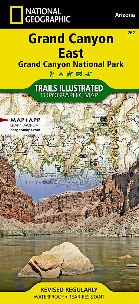
Grand Canyon National Park East Trails Illustrated Topo Map #262
Grand Canyon National Park East Trails Illustrated Topo Map #262
Couldn't load pickup availability
Share
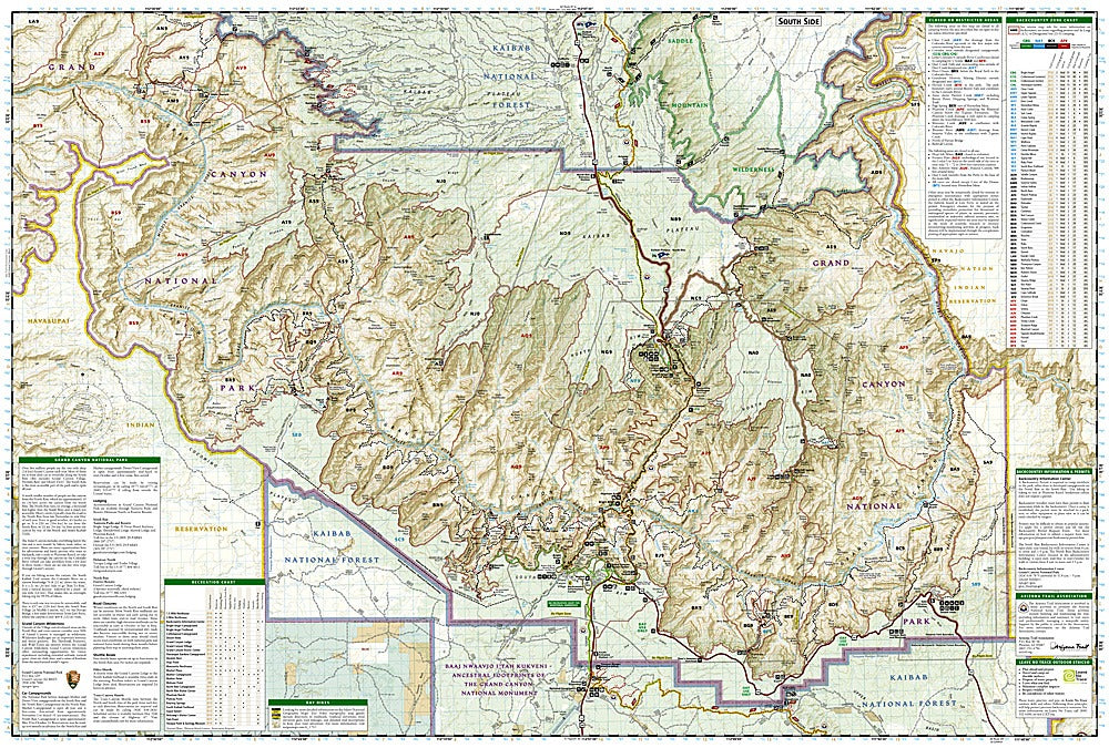
Discover the dramatic beauty of one of the world’s greatest natural wonders with the Grand Canyon National Park East Trails Illustrated Topographic Map #262 by National Geographic. Covering the breathtaking stretch from Glen Canyon to Grand Canyon Village on the South Rim, this map highlights iconic attractions such as Marble Canyon, the Kaibab National Forest, and the Saddle Mountain Wilderness. Perfect for hikers and explorers, it details sections of both the Arizona Trail and the Great Western Trail, offering endless opportunities for adventure.
Rich in history, the Grand Canyon was carved by the mighty Colorado River over millions of years and has long been home to Indigenous peoples whose cultures remain deeply connected to the land. Scenic byways, river mileage markers, campgrounds, and viewpoints are clearly noted, making it an essential tool for both backcountry trekkers and road trip travelers. Waterproof, tear-resistant, and GPS-ready, this map is your ultimate guide to exploring the East Grand Canyon.