1
/
of
2
National Geographic
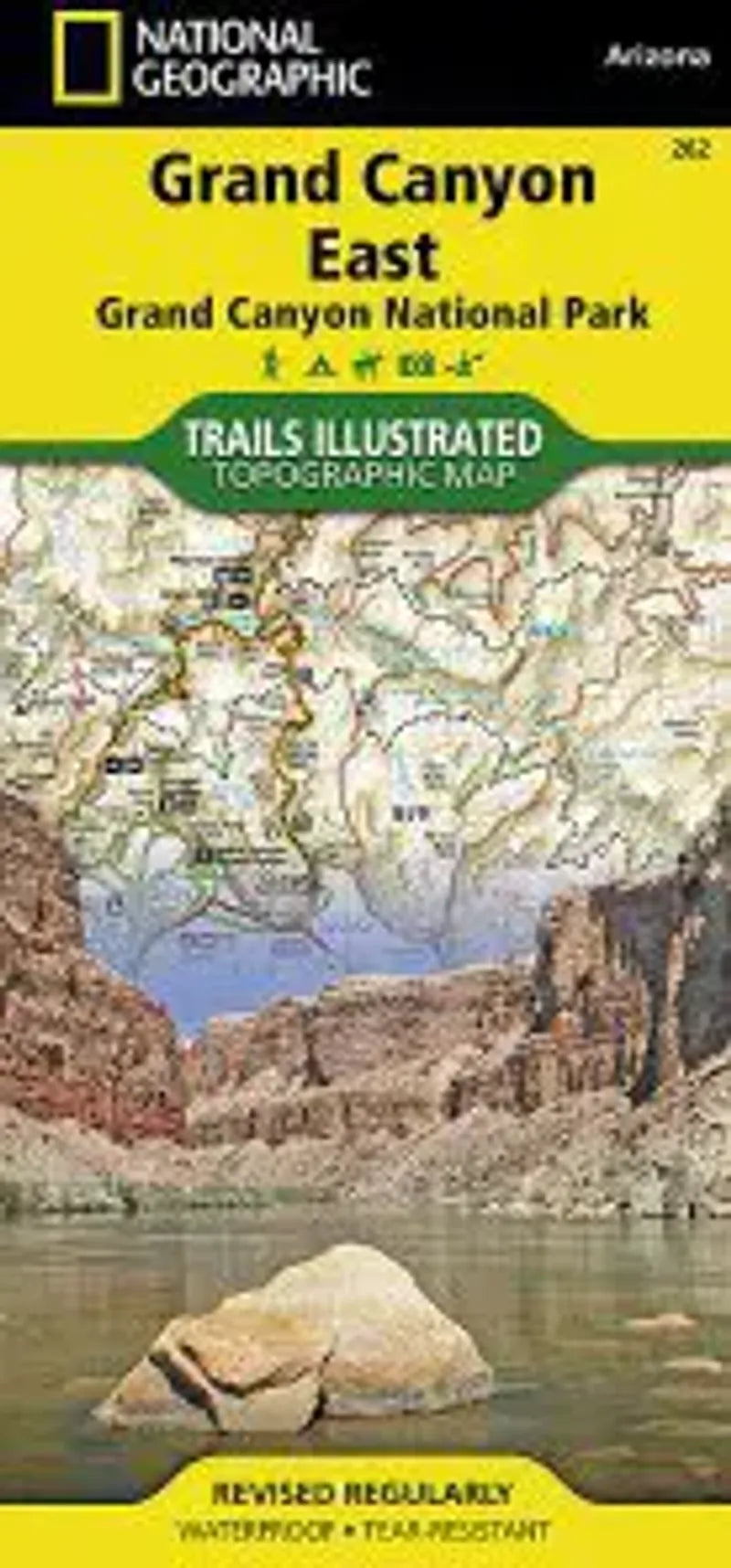
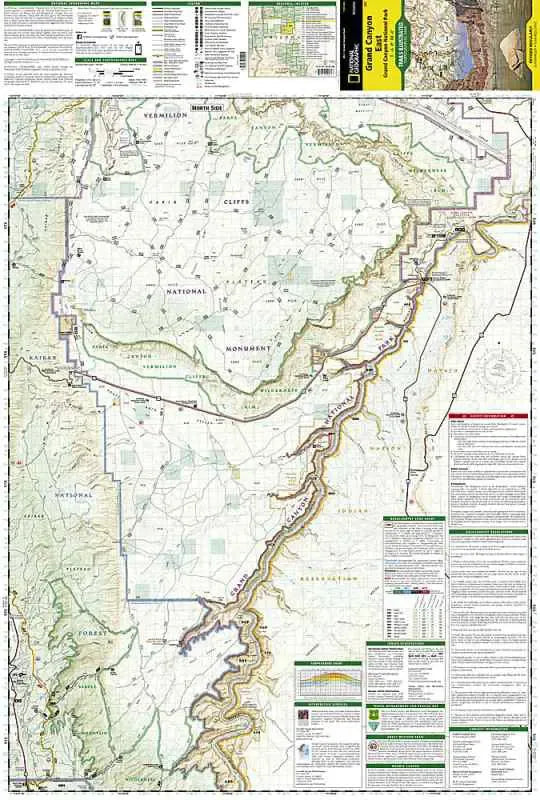
Grand Canyon National Park East Map
Grand Canyon National Park East Map
Regular price
$14.95 USD
Regular price
Sale price
$14.95 USD
Unit price
/
per
Couldn't load pickup availability
Share
The Grand Canyon National Park East map is a topographic map is printed on waterproof paper and contains detailed coverage from the park’s northeastern boundary at Glen Canyon to the highly visited areas just west of Grand Canyon village on the south rim.
Coverage highlights: Colorado River Miles 0-142, South Rim Visitor Center, Grand Canyon Village, Route 64 “Desert View Drive”, North Rim Visitor Center, Route 67, Marble Canyon, Paria Canyon, Vermillion Cliffs National Monument, Paria Canyon Wilderness, Coyote Buttes, House Rock Wildlife Area, Kaibab National Forest, Saddle Mountain Wilderness, Grand Canyon Game Preserve, Coconino Plateau, Arizona Trail, Great Western Trail, and more.