National Geographic
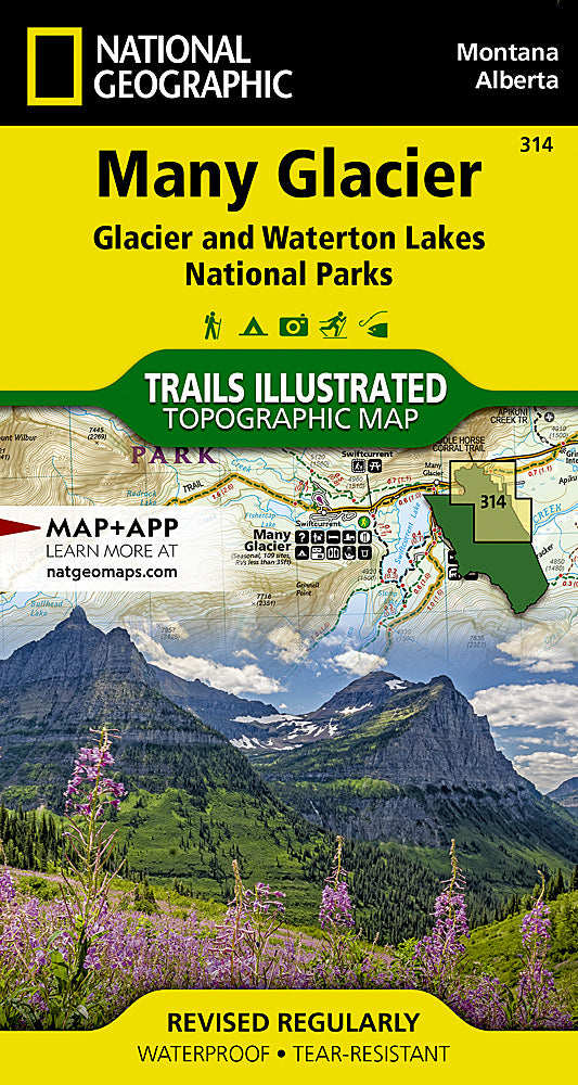
Glacier NP - Many Glacier Trails Illustrated Topographic Map #314
Glacier NP - Many Glacier Trails Illustrated Topographic Map #314
Couldn't load pickup availability
Share
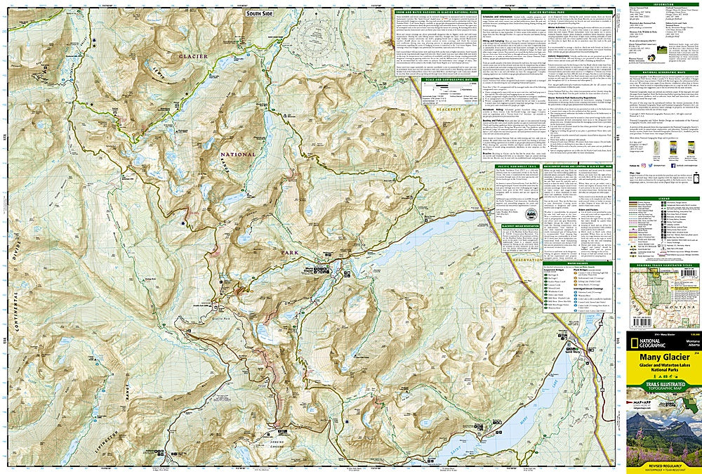
National Geographic’s Many Glacier Trails Illustrated Topographic Map #314 is the ultimate companion for exploring the rugged beauty of Glacier National Park and Waterton Lakes National Park. Covering breathtaking highlights like Grinnell Glacier, Iceberg Lake, and Swiftcurrent Pass, this waterproof and tear-resistant map gives hikers, backpackers, and adventurers the confidence to navigate miles of pristine wilderness. The map details portions of both the Pacific Northwest Trail and the famed Continental Divide Trail, providing access to some of the most iconic routes in the northern Rockies.
Rich in history, the Many Glacier region was once the heart of the Great Northern Railway’s “See America First” campaign, which introduced travelers to the park’s dramatic landscapes in the early 1900s. Today, its soaring peaks, alpine lakes, and abundant wildlife continue to inspire visitors. With elevation contours, trail mileage, recreation features, and a full UTM grid for GPS navigation, this map is built for backcountry adventure.