National Geographic
Flagstaff & Sedona Trails Illustrated Topographic Map #856
Flagstaff & Sedona Trails Illustrated Topographic Map #856
Couldn't load pickup availability
Share
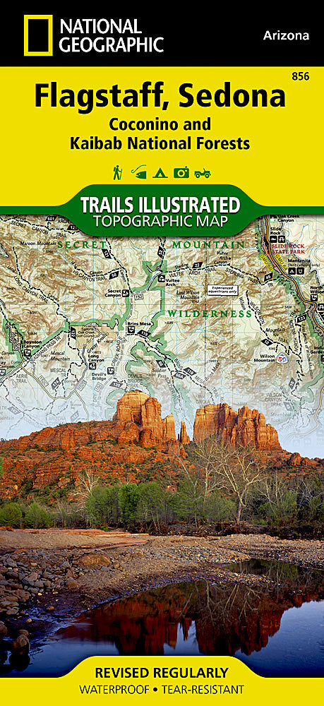
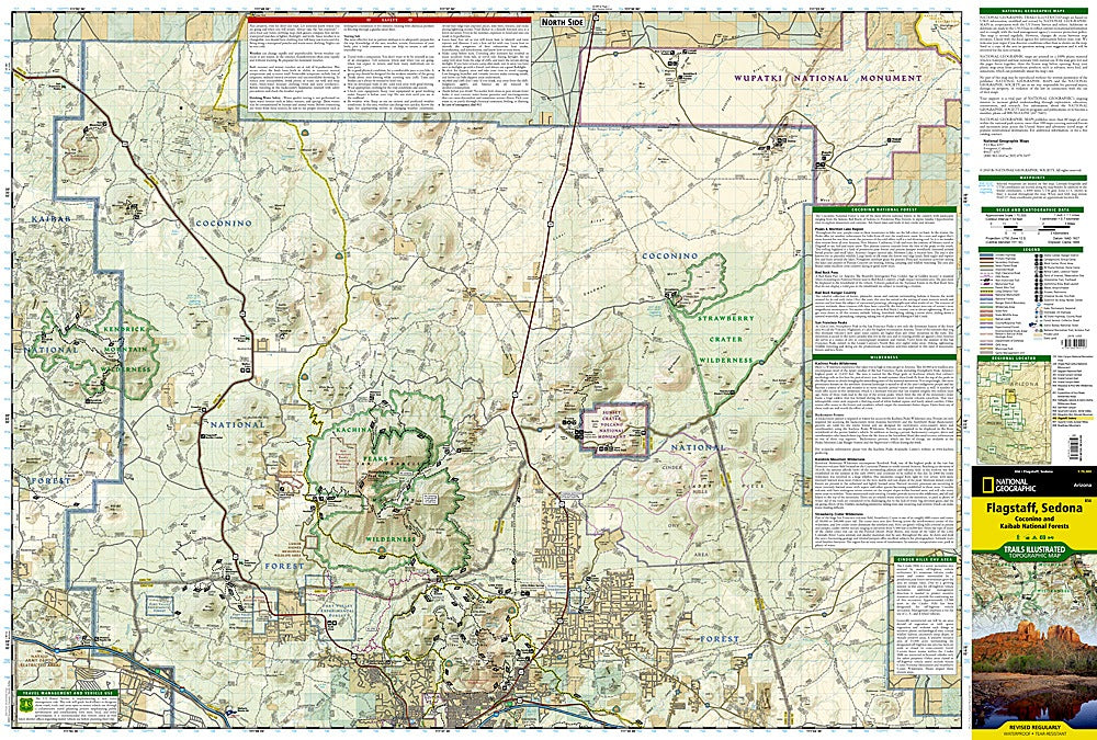
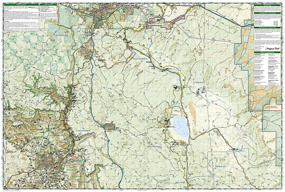
Discover the breathtaking landscapes of Northern Arizona with the Flagstaff & Sedona Trails Illustrated Topographic Map #856 by National Geographic. Covering the diverse terrain of Coconino National Forest, this durable, waterproof map is the perfect guide to explore pine forests, volcanic craters, and world-famous red rock country. Top attractions featured include Humphreys Peak, the tallest mountain in Arizona at 12,633 feet; Walnut Canyon National Monument, home to ancient cliff dwellings of the Sinagua people; and the iconic red sandstone formations of Sedona.
History lovers will appreciate the map’s coverage of Sunset Crater Volcano, a dramatic eruption site from nearly 1,000 years ago, and portions of Historic Route 66, a legendary stretch of Americana. Hikers, bikers, and explorers can follow miles of mapped trails, including sections of the Arizona Trail, while drivers can enjoy scenic byways through stunning high desert and mountain vistas. With accurate trails, roads, campgrounds, and recreation sites, this map is your essential tool for adventure.