NOAA
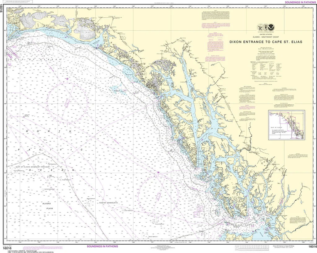
Dixon Entrance to Cape St. Elias Nautical Chart #16016
Dixon Entrance to Cape St. Elias Nautical Chart #16016
Couldn't load pickup availability
Share
Set your course for one of North America's most legendary coastlines! The Dixon Entrance to Cape St. Elias Nautical Chart #16016 is the perfect blend of maritime history, coastal exploration, and stunning nautical cartography for boaters, collectors, and coastal enthusiasts alike.
Covering an immense stretch of Alaska's spectacular southeastern coastline, this chart spans from the rugged waters of Dixon Entrance along the famed Inside Passage to the dramatic shores of Cape St. Elias. Discover renowned destinations including the Alexander Archipelago, Glacier Bay, Cross Sound, Yakutat Bay, Prince of Wales Island, Baranof Island, Chichagof Island, and countless remote islands, passages, and protected anchorages. Measuring a generous 43" x 34" at a 1:969,756 scale, it provides an impressive overview of one of the world's most scenic cruising regions.
This remarkable coastline has played a vital role for centuries, serving Indigenous communities long before European explorers arrived. During the late 1700s, Russian and British expeditions charted these waters, helping shape the maritime history of Alaska and the Pacific Northwest.
(View more detail in nautical chart viewer)
Please note: For decorative and reference purposes only, NOAA has officially sunset traditional paper nautical charts. These legacy charts are no longer updated or approved for primary navigation.
SKU: SKU:NOS16016
View full details