National Geographic
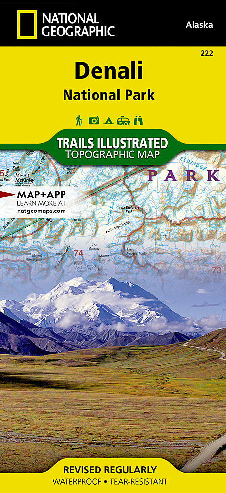
Denali National Park Trails Illustrated Topographic Map #222
Denali National Park Trails Illustrated Topographic Map #222
Couldn't load pickup availability
Share
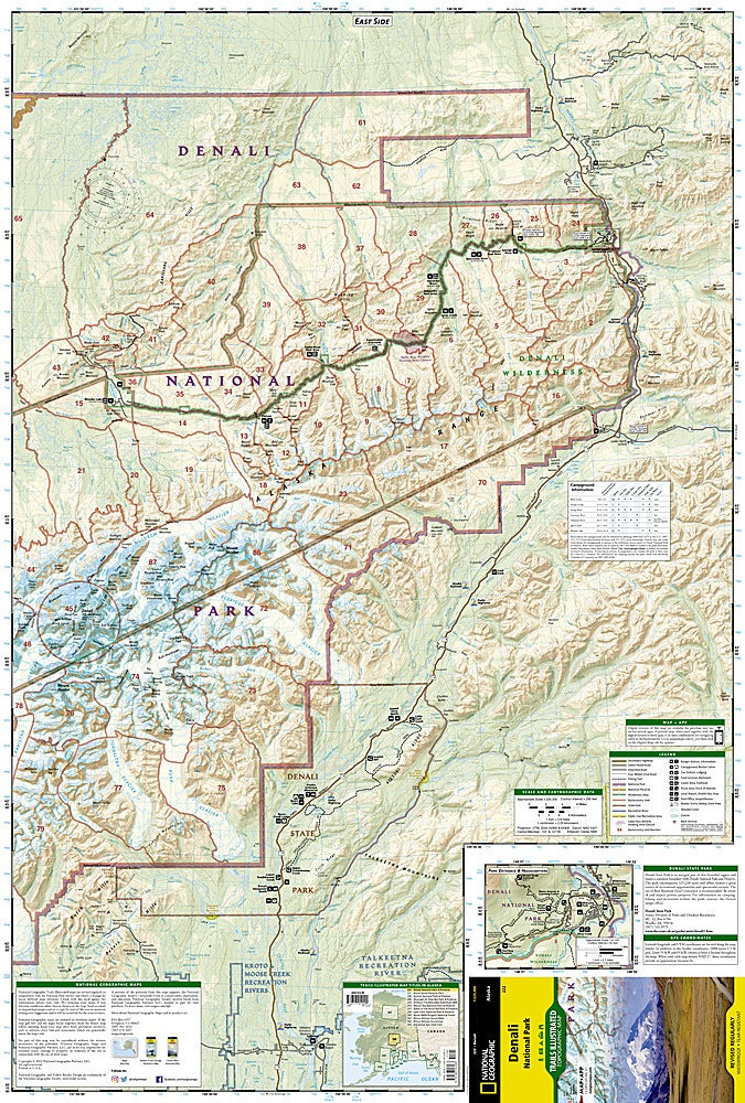
Discover the untamed beauty of Alaska with the Denali National Park Trails Illustrated Topographic Map #222 by National Geographic. Covering six million acres of wilderness, this waterproof and tear-resistant map is the ultimate guide to one of America’s most iconic landscapes.
At the heart of the park rises Denali, formerly known as Mount McKinley, soaring to 20,320 feet as the tallest mountain in North America. Visitors can explore unforgettable highlights like the historic Kantishna Mining District, once a hub during Alaska’s gold rush, the pristine recreation rivers of Kroto, Moose Creek, and Lake Creek, and the breathtaking vistas of Denali State Park. Detailed campground charts, shuttle bus routes, and inset maps of the park entrance make planning your adventure effortless.
With contour lines, elevations, and a full UTM grid for GPS navigation, this map ensures safe and rewarding exploration of one of America’s most storied and awe-inspiring national parks.