1
/
of
2
National Geographic
Crystal Basin & Silver Fork Trails Illustrated Topographic Map #806
Crystal Basin & Silver Fork Trails Illustrated Topographic Map #806
Regular price
$14.95 USD
Regular price
Sale price
$14.95 USD
Unit price
/
per
Couldn't load pickup availability
Share
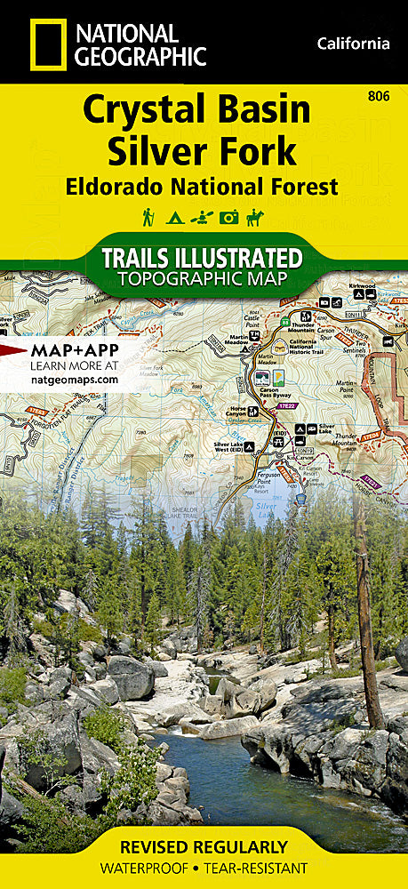
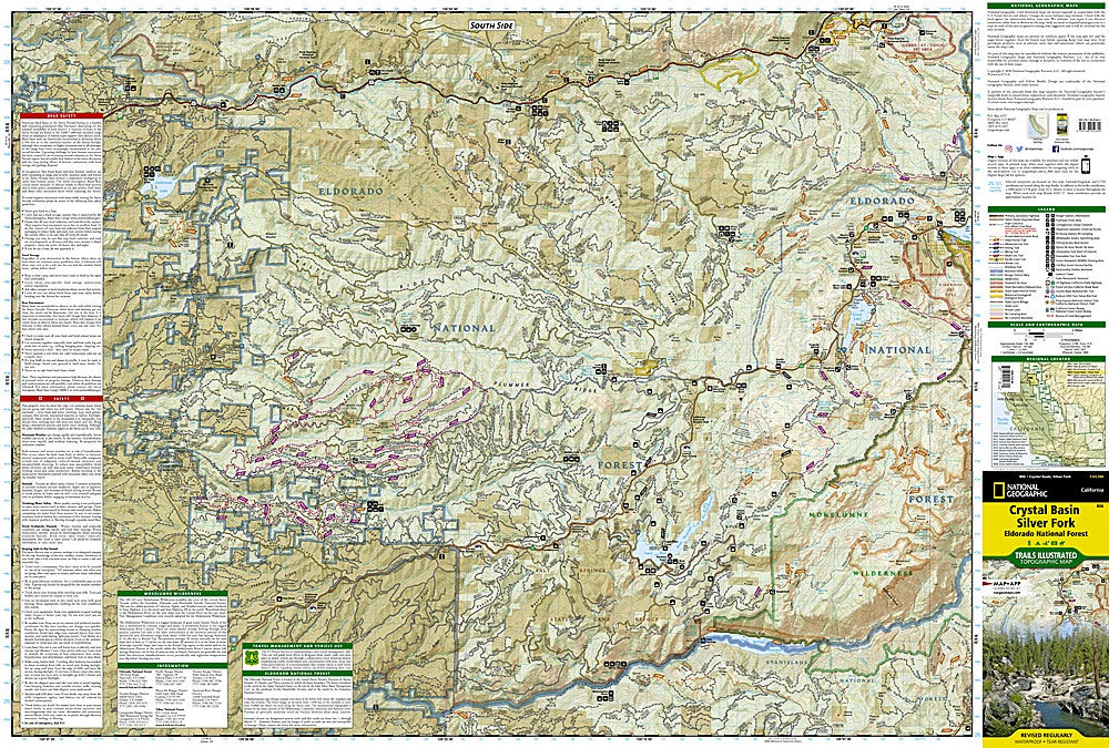
Discover the beauty and adventure of California’s Sierra Nevada with National Geographic’s Crystal Basin & Silver Fork Trails Illustrated Topographic Map #806. Covering Eldorado National Forest between Tahoe and Stanislaus National Forests, this durable, waterproof map is an essential companion for hikers, campers, and explorers.
Highlights include the sparkling waters of Union Valley Reservoir, the rugged beauty of Desolation Wilderness, and the year-round recreation at Kirkwood Ski Area. History buffs will enjoy tracing the Pony Express National Historic Trail, which once carried mail across the Sierra in the mid-1800s. The map also marks sections of the famed Pacific Crest Trail and the scenic Carson Pass Byway.
With detailed trail mileage, contour lines, and designated use symbols, you’ll find the perfect route whether on foot, bike, or horseback. Packed with safety tips, recreation information, and GPS-ready grids, this map ensures your adventure through Crystal Basin and Silver Fork is unforgettable.
Articles


