National Geographic
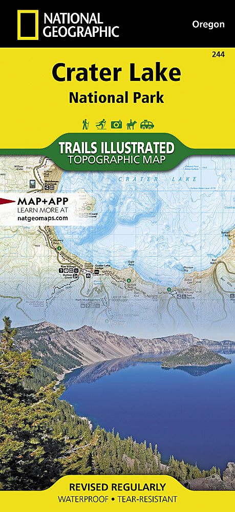
Crater Lake National Park Trails Illustrated Topographic Map #244
Crater Lake National Park Trails Illustrated Topographic Map #244
Couldn't load pickup availability
Share
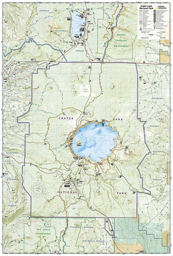
Crater Lake National Park is a geological wonder, born from the cataclysmic eruption of Mount Mazama over 7,000 years ago. Today, its vivid blue waters and dramatic cliffs make it one of Oregon’s most breathtaking destinations. The Crater Lake National Park Trails Illustrated Topographic Map #244 by National Geographic is the perfect guide to exploring this natural treasure.
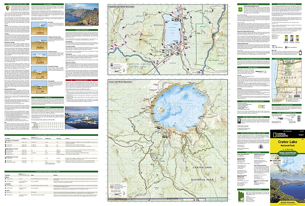
Highlights include Rim Drive, a stunning scenic route encircling the caldera; Wizard Island, the volcanic cinder cone rising from the lake’s surface; and the Pacific Crest National Scenic Trail, which winds through pristine alpine landscapes. This durable, waterproof map provides detailed trail information for both summer hiking and winter recreation, including Diamond Lake’s snowy playground. With marked campgrounds, trailheads, viewpoints, and mileage between intersections, it’s an essential tool for adventurers.
Whether you’re driving the Rogue Umpqua Scenic Byway, skiing the rim, or hiking to a lakeside overlook, this map ensures you won’t miss a thing.