

DeLorme
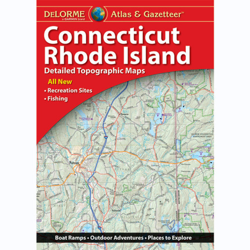
Connecticut & Rhode Island Topographic Atlas & Gazetteer by DeLorme
Connecticut & Rhode Island Topographic Atlas & Gazetteer by DeLorme
Couldn't load pickup availability
Share
Discover hidden trails, scenic backroads, and coastal escapes with the Connecticut & Rhode Island Topographic Atlas & Gazetteer by DeLorme! Your next New England adventure starts here—with 60 pages of outdoor possibilities packed into one handy atlas.
Forget squinting at your phone, hunting for cell service, or wrestling with oversized folded maps! This book-style atlas lets you flip between detailed maps, compare routes, and plan your next stop without draining your battery. Its full-color topographic maps reveal the lay of the land, from charming towns and historic landmarks to hiking trailheads, boat launches, scenic drives, and favorite fishing holes.
Explore Connecticut’s outdoor gems, from the sandy shoreline of Hammonasset Beach State Park to the forested trails and mountain views of Sleeping Giant State Park. Then venture into Rhode Island, the Ocean State, for coastal scenery, peaceful parks, and memorable days outdoors.
An extensive index makes finding destinations easy, while latitude/longitude grids support GPS navigation. Handy insets cover major cities and state lands, too. Whether you’re hiking, camping, paddling, fishing, or taking the scenic route, this DeLorme atlas is your go-to guide for exploring southern New England!
SKU: SKU:DELCTRI
View full details