Benchmark
Connecticut Recreation Folded Map by Benchmark Maps
Connecticut Recreation Folded Map by Benchmark Maps
Couldn't load pickup availability
Share
From mountain ridges to seaside towns, explore Connecticut with a map built for curious travelers and outdoor adventures! The Connecticut Recreation Folded Map by Benchmark Maps packs an impressive amount of road, recreation, and geographic detail into one handy, travel-ready guide.
At a detailed 1:190,080 scale, the map side covers the entire Nutmeg State, from the Taconics to the shores of Long Island Sound. Extensive road detail, ferry routes, points of interest, public land boundaries, elevation tints, and gorgeous shaded relief make planning a scenic drive or weekend escape a breeze.
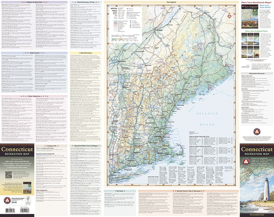
Flip it over for a recreation-packed guide to Connecticut’s parks, forests, campgrounds, historic sites, museums, and other attractions. A regional map also puts Connecticut in context with the rest of New England, making it easy to see how your adventure fits into the bigger picture.
Whether you’re road-tripping, hiking, sightseeing, or simply plotting your next getaway, this Connecticut map is a fun, practical companion. Grab one and start exploring!
SKU: SKU:NGSBENCT
View full details