National Forest Service
Colville National Forest Service Map
Colville National Forest Service Map
Couldn't load pickup availability
Share
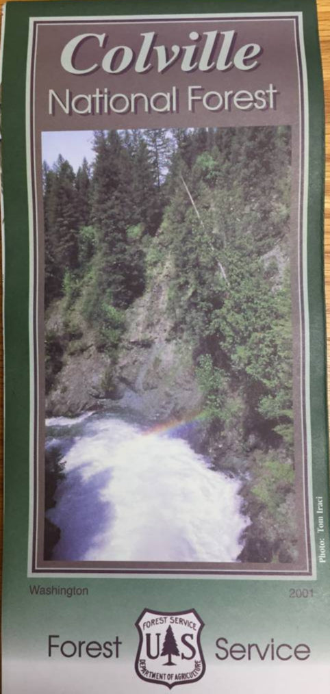
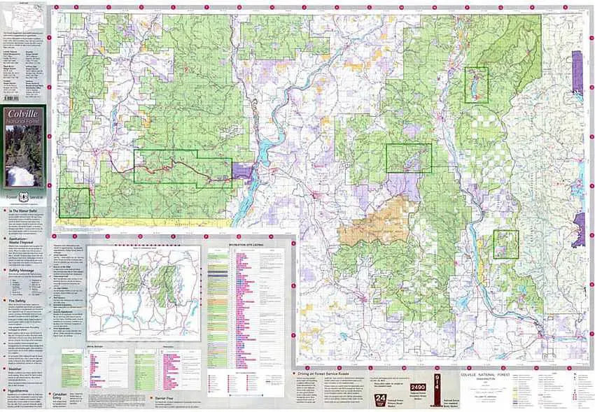
Discover the breathtaking beauty of Northeast Washington with the Colville National Forest Service Map. Covering the scenic landscapes around Republic, Kettle Falls, Metaline Falls, and Newport, this map guides you through rugged mountains, dense forests, and sparkling lakes.
Explore top attractions like Sullivan Lake, Sherman Pass Scenic Byway, and Little Pend Oreille National Wildlife Refuge. Home to towering Douglas firs, vibrant wildflowers, bald eagles, and elusive lynx, Colville’s natural wonders captivate visitors year-round. Established in 1907, the forest boasts a rich history of conservation and outdoor recreation. The map’s clear color shading distinguishes National Forest, DNR, State Park, and Federal lands, while the reverse side highlights activities across five ranger districts.
Whether hiking, fishing, or wildlife spotting, the Colville National Forest invites you to experience the wild heart of Washington.
ArticlesSKU: SKU:NFWAC
View full details