1
/
of
1
National Forest Service
Columbia River Gorge National Scenic Area Map
Columbia River Gorge National Scenic Area Map
Regular price
$19.95 USD
Regular price
Sale price
$19.95 USD
Unit price
/
per
Couldn't load pickup availability
Share
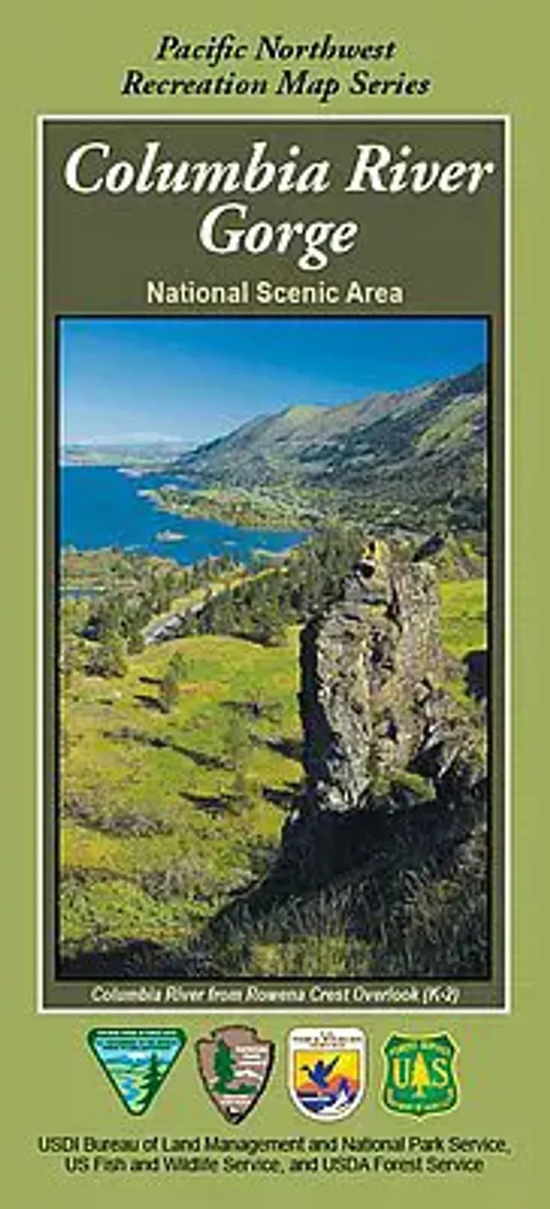
The Columbia River Gorge National Scenic Area map is a joint venture publication by the BLM, the National Park Service, US Fish and Wildlife Service and the US Forest Service.
The map is two sided: The west half covers from Camas to Hood River including the Mark O Hatfield Wilderness and Beacon Rock State Park. The east half continues from Hood River to Maryhill State Park/ Highway 97 including the Klickitat Wild & Scenic River and the Columbia Hills Historical Park.
Symbols on map show locations for camping, picnic sites, boat ramps, fishing, trail heads, and other recreational activities.
- 1" = 1 mile
- 100 foot contour interval
- Waterproof Material