National Geographic
Central America Wall Map by National Geographic
Central America Wall Map by National Geographic
Couldn't load pickup availability
Share
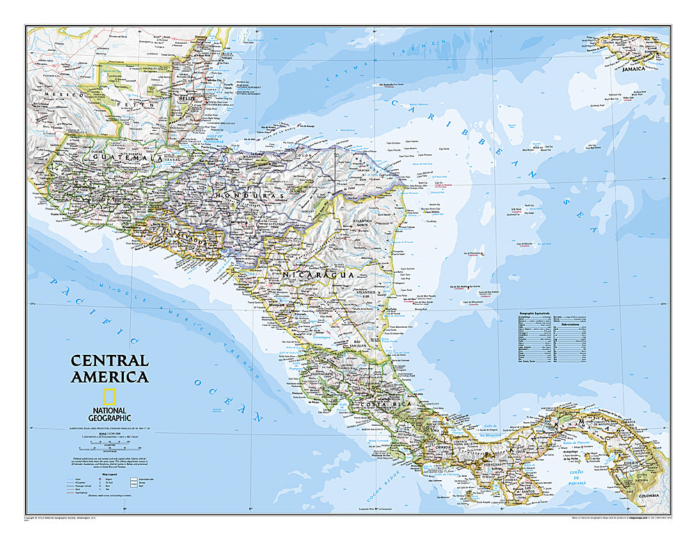
Discover the rich geography and vibrant cultures of Central America with National Geographic’s Central America Wall Map. Designed in the iconic Classic style, this map features bright, easy-to-read colors, striking shaded relief, and detailed terrain that brings the region to life. Covering Guatemala, Belize, El Salvador, Honduras, Nicaragua, Costa Rica, and Panama, it includes thousands of place names, national parks, archaeological sites, and major transportation networks from roads and airports to canals and ferry routes.
Coastal bathymetry, elevations, depth curves, and detailed water and landform symbols provide a complete view of both land and sea. Perfect for classrooms, offices, or home exploration, the map is available in a 29" x 22.5" paper version or durable laminated format, combining beauty and functionality. Whether you’re planning travel, teaching geography, or simply exploring from your wall, this map makes Central America’s landscapes, history, and connections come alive.
Articles