National Geographic
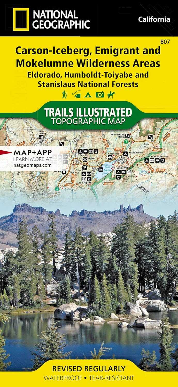
Carson-Iceberg, Emigrant & Mokelumne Wilderness Areas Map
Carson-Iceberg, Emigrant & Mokelumne Wilderness Areas Map
Couldn't load pickup availability
Share
The Carson-Iceberg, Emigrant & Mokelumne Wilderness Trails Illustrated map details recreation areas of Stanislaus & Humboldt-Toiyabe National Forests from Yosemite National Park north to Caples Lake and Markleeville. This popular stretch of the Sierras contains year-round recreation opportunities for outdoor enthusiasts of all interests.
Coverage highlights: high-use areas of Stanislaus, Eldorado, and Humboldt-Toiyabe National Forests; Emigrant and Hoover Wilderness Areas; Ebbetts, Carson, Sonora, and Emigrant Passes; Bear Valley, Kirkwood, and Iron Mountain Ski Areas; Grover Hot Springs; portions of the Pacific Crest Trail; California Sno-Park locations; hiking, biking, horse, snowmobile trails and more. UTM, latitude/longitude grids and select waypoints are also included. Waterproof.