National Forest Service
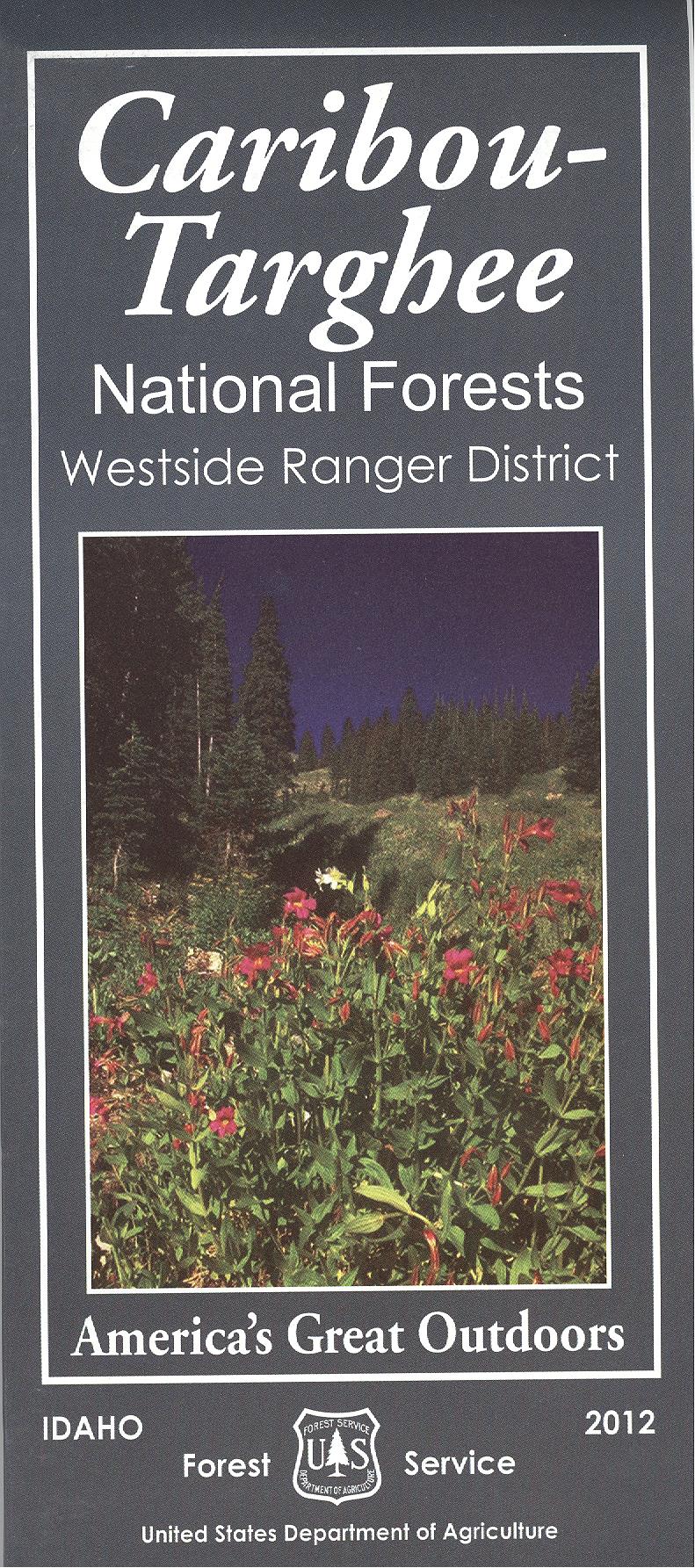
Caribou-Targhee National Forests Westside Ranger District USFS Map
Caribou-Targhee National Forests Westside Ranger District USFS Map
Couldn't load pickup availability
Share
Discover the stunning landscapes of southeastern Idaho and western Wyoming with the Caribou-Targhee National Forests Westside Ranger District Forest Service Map. This detailed map is your gateway to adventure in the region’s top attractions, including the scenic Bear River Range, popular Mink Creek Recreation Area, and the historic Oregon Trail crossings.
Hike through dense stands of Douglas fir and aspen, spot elk and mule deer, and marvel at vibrant wildflower displays in summer. Located near the towns of Pocatello and Preston, the Westside Ranger District offers endless opportunities for hiking, camping, mountain biking, and wildlife watching.
Whether you’re planning a weekend getaway or an extended outdoor adventure, this map ensures you won’t miss a thing. Embrace the beauty of the Caribou-Targhee National Forests, your adventure starts here!