National Geographic
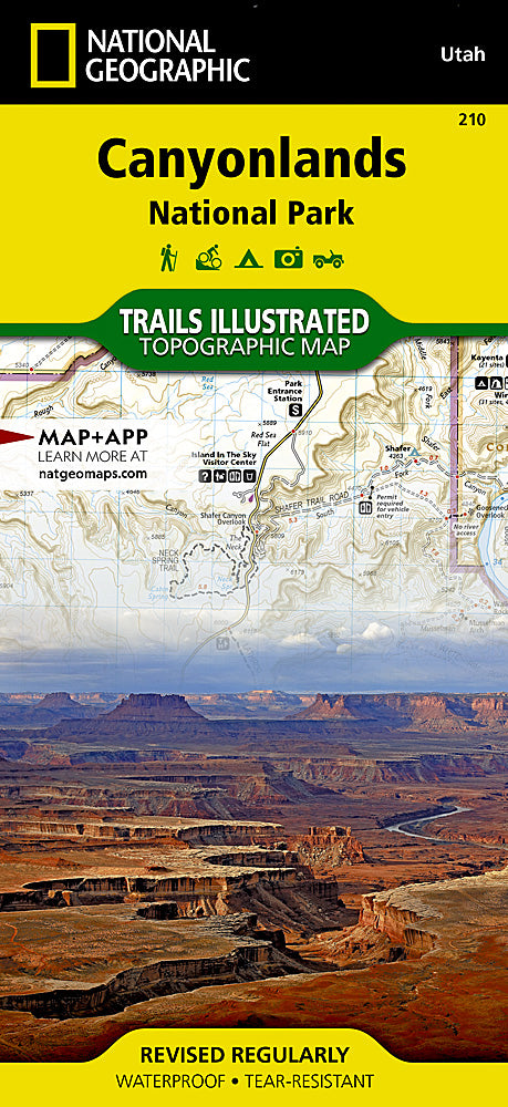
Canyonlands National Park Trails Illustrated Topographic Map #210
Canyonlands National Park Trails Illustrated Topographic Map #210
Couldn't load pickup availability
Share
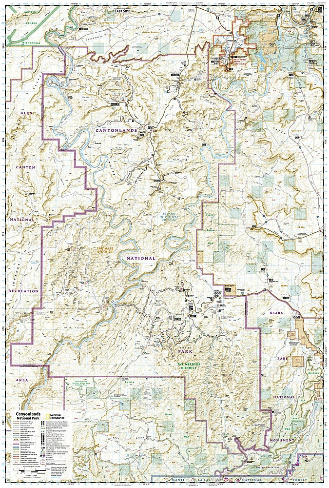
Explore the dramatic landscapes of Utah’s Canyonlands National Park with National Geographic’s Trails Illustrated Topographic Map #210. This detailed, waterproof map brings the park’s iconic features to life, from the breathtaking Island in the Sky mesa to the winding canyons of the Needles district and the hidden wonders of Horseshoe Canyon, home to ancient Native American rock art.
Rich in history, Canyonlands has been shaped over millions of years by the Colorado and Green Rivers, and human presence here stretches back thousands of years, leaving behind archaeological sites that tell fascinating stories of early inhabitants. The map highlights trail routes with mileages, river distances, campgrounds, scenic overlooks, visitor centers, and backcountry safety information, making it an essential guide for hikers, bikers, and river adventurers alike.
Expertly crafted with contour lines, elevations, and a full UTM grid, this durable, tear-resistant map ensures you navigate the park’s stunning mesas, buttes, and river corridors with confidence and ease.