National Geographic
Canyonlands NP Needles District Trails Illustrated Topo Map #311
Canyonlands NP Needles District Trails Illustrated Topo Map #311
Couldn't load pickup availability
Share
Discover the dramatic landscapes of Canyonlands National Park’s Needles District with National Geographic’s Trails Illustrated Map #311, the ultimate companion for adventurers. This southeastern corner of the Utah park dazzles with the Needles’ colorful sandstone spires, scenic vistas at Chesler Park, and the winding canyons of Elephant Hill.
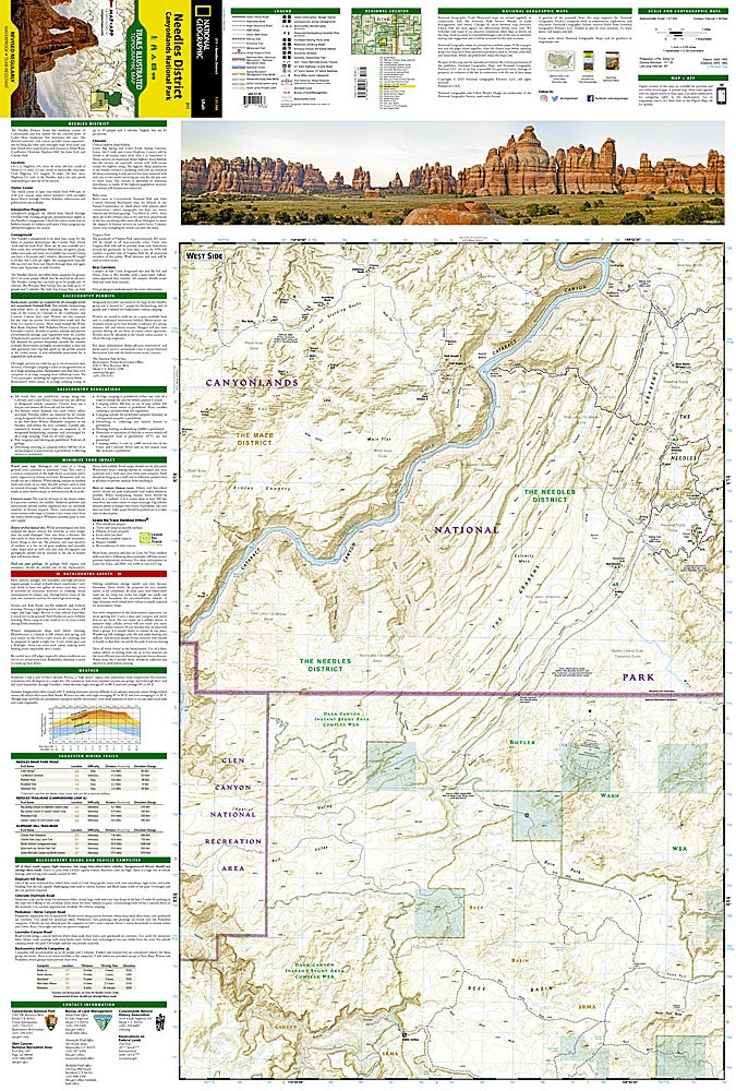
Explore ancient Native American rock art at Newspaper Rock, and trace the historic routes of early settlers navigating the rugged terrain. Designed in partnership with the National Park Service and Bureau of Land Management, this map provides detailed hiking trail guides, backcountry road routes, and mileage between intersections, ensuring every explorer can confidently plan their journey. Contour lines, shaded relief, water features, and Colorado River mileage are clearly marked, along with mountain bike routes and campgrounds.
Printed on waterproof, tear-resistant paper with a full UTM grid, it’s perfect for navigating the park’s remote trails, scenic overlooks, and wilderness areas with ease and safety.