Canadian Hydrographic Service (CHS)
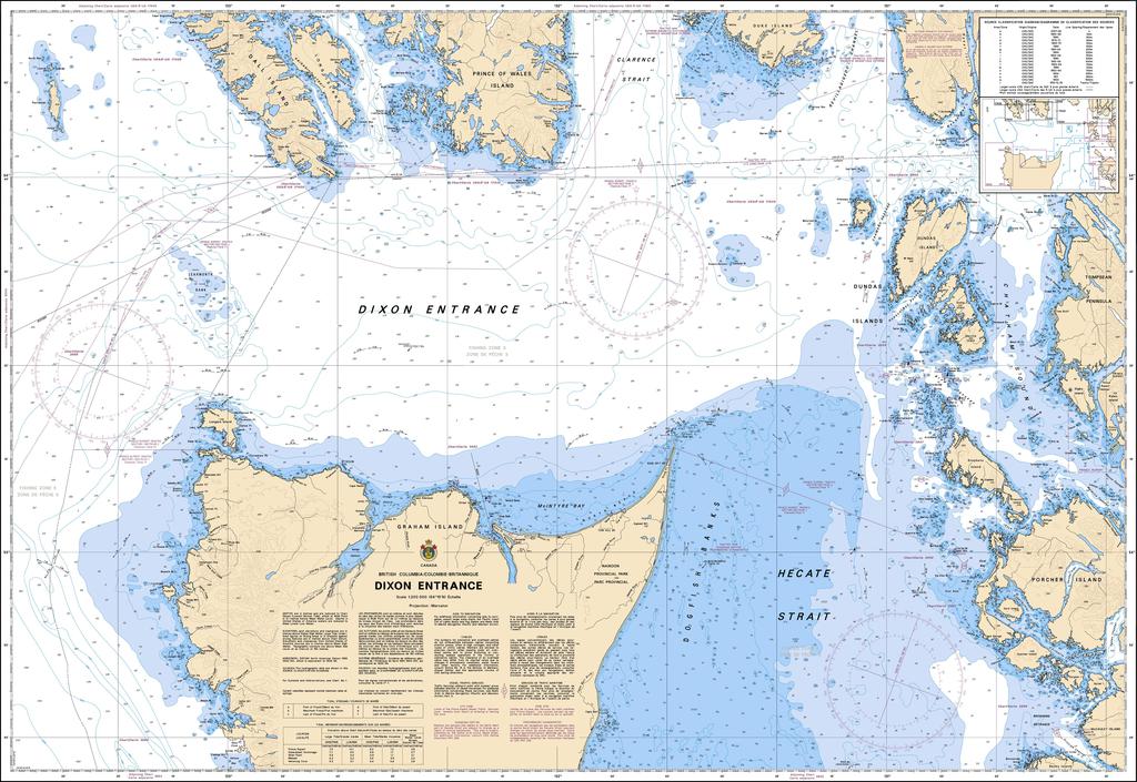
Canadian Nautical Chart #3800 - Dixon Entrance
Canadian Nautical Chart #3800 - Dixon Entrance
Couldn't load pickup availability
Share
Chart a course to one of the Pacific Northwest's most legendary maritime frontiers with Canadian Nautical Chart #3800 – Dixon Entrance! Whether you're a seasoned mariner, coastal explorer, or nautical décor enthusiast, this impressive chart brings adventure to your walls and confidence to your voyage.
Covering the rugged waters of Dixon Entrance at a scale of 1:200,000, this detailed Canadian nautical chart spans 48" x 36" and includes key locations such as Prince Rupert, Langara Island, Dundas Island, Chatham Sound, Portland Inlet, and the waters surrounding Haida Gwaii. The region played a pivotal role in the maritime fur trade during the late 1700s, with European explorers and Indigenous seafarers navigating these productive coastal waters long before modern shipping routes emerged.
Perfect for trip planning, coastal reference, or displaying as striking maritime wall art, this chart blends practical navigation with timeless coastal appeal. Whether it's hanging in a home, office, cabin, or aboard your vessel, Canadian Nautical Chart #3800 celebrates the rich history, breathtaking scenery, and enduring spirit of British Columbia's spectacular northern coastline.
SKU: SKU:CHY3800
View full details