Canadian Hydrographic Service (CHS)
Canadian Nautical Chart #3744 - Queen Charlotte Sound
Canadian Nautical Chart #3744 - Queen Charlotte Sound
Couldn't load pickup availability
Share
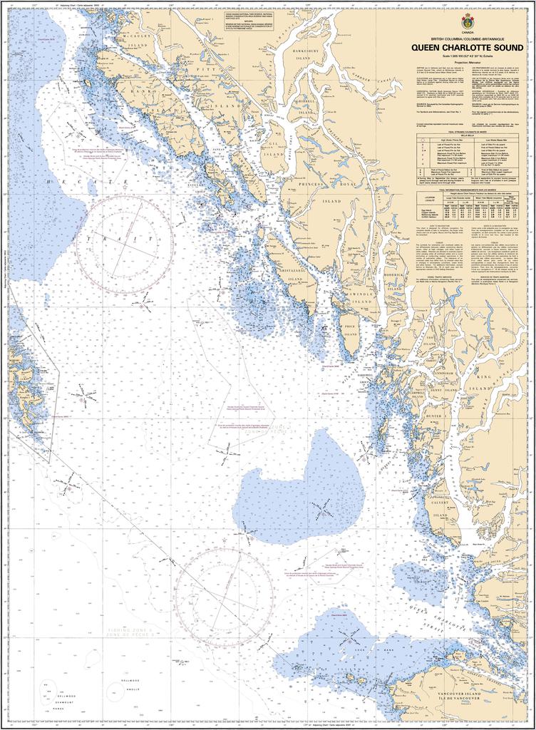
Set sail for one of British Columbia’s most dramatic marine landscapes with Canadian Nautical Chart #3744 - Queen Charlotte Sound, a must-have for boaters, coastal explorers, and ocean-inspired decorators. Chart your next adventure or bring the rugged beauty of the Pacific Coast to your wall with this detailed nautical treasure.
Covering the waters of Queen Charlotte Sound, this chart highlights a spectacular region between Vancouver Island and the mainland coast, including areas around Fitz Hugh Sound, Smith Sound, Calvert Island, and the channels and passages that weave through British Columbia’s remote shoreline. The area is rich in maritime history, including centuries of Indigenous seafaring traditions and the exploration routes of early European navigators seeking the fabled Northwest Passage.
Perfect for navigation reference, trip planning, or coastal décor, this chart captures the wild character of one of Canada’s most iconic waterways. Measuring 36" x 44" with a scale of 1:365,100, it’s a striking addition for sailors, collectors, and Pacific Coast enthusiasts.
SKU: SKU:CHY3744
View full details