Canadian Hydrographic Service (CHS)
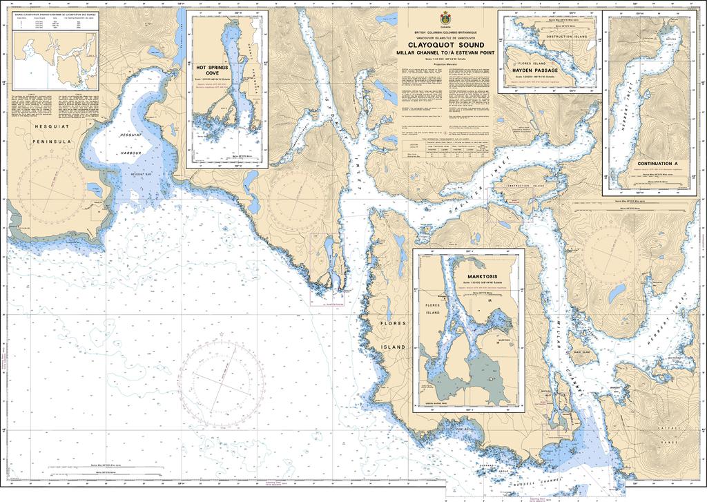
Canadian Nautical Chart #3674 - Clayoquot Sound (Millar to Estevan)
Canadian Nautical Chart #3674 - Clayoquot Sound (Millar to Estevan)
Couldn't load pickup availability
Share
Set your sights on the wild Pacific Coast with Canadian Nautical Chart #3674—where every inlet, island, and channel tells a story! Whether you're plotting your next voyage or adding authentic maritime character to your home, this chart is a must-have for boaters and coastal enthusiasts alike.
Canadian Nautical Chart #3674 covers the breathtaking waters of Clayoquot Sound from Millar Channel to Estevan Point at a detailed 1:40,000 scale. Measuring a generous 48" x 36", this official hydrographic chart showcases navigation aids, soundings, anchorages, reefs, islands, and intricate coastal waterways, making it an invaluable companion for cruising, sailing, kayaking, fishing, and marine reference.
Clayoquot Sound has long been a haven for mariners, fishermen, and First Nations communities. It gained international attention during the historic 1993 Clayoquot Sound protests, a pivotal conservation movement that helped preserve one of the world's largest temperate rainforests and its remarkable marine ecosystem.
Perfect for planning your next adventure or displaying as striking nautical wall art, Canadian Nautical Chart #3674 blends trusted navigational detail with the timeless beauty of British Columbia's rugged coastline. It's an ideal gift for sailors, yacht owners, anglers, chart collectors, and anyone who feels at home on the water.
SKU: SKU:CHY3674
View full details