Canadian Hydrographic Service (CHS)
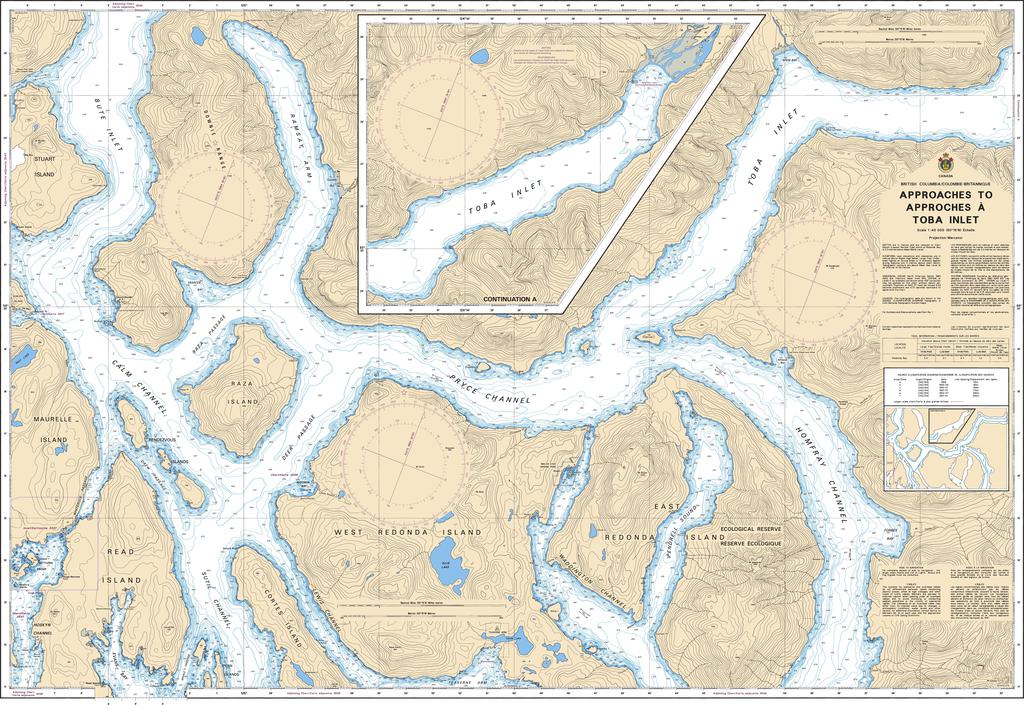
Canadian Nautical Chart #3541 - Approaches to Toba Inlet
Canadian Nautical Chart #3541 - Approaches to Toba Inlet
Couldn't load pickup availability
Share
Chart a course into one of British Columbia's most spectacular coastal wilderness areas with Canadian Nautical Chart #3541 – Approaches to Toba Inlet! Whether you're planning your next boating adventure or creating a striking nautical display, this detailed marine chart brings the rugged beauty of the Pacific Coast to life.
Covering the approaches to Toba Inlet at a detailed scale of 1:40,000, this official Canadian nautical chart includes key waterways and landmarks such as Toba Inlet, Pryce Channel, East Redonda Island, West Redonda Island, and the surrounding passages that lead into this dramatic fjord. Measuring an impressive 48" x 36", it's ideal for route planning, marine reference, or framing as distinctive coastal décor.
Toba Inlet holds an important place in British Columbia's history as the homeland of the Klahoose First Nation, whose connection to these waters stretches back thousands of years. Today, the inlet is celebrated for its towering mountains, cascading waterfalls, abundant wildlife, and world-class cruising opportunities, making this chart a perfect companion for both exploration and nautical-inspired decoration.
SKU: SKU:CHY3541
View full details