Canadian Hydrographic Service (CHS)
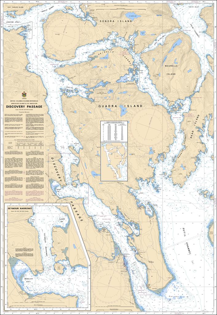
Canadian Nautical Chart #3539 - Discovery Passage
Canadian Nautical Chart #3539 - Discovery Passage
Couldn't load pickup availability
Share
Chart a course through one of British Columbia's most spectacular coastal waterways with Canadian Nautical Chart #3539 – Discovery Passage! Whether you're planning your next marine adventure or creating a stunning nautical display, this detailed chart is ready to steer you in the right direction.
Covering Discovery Passage at an impressive 1:40,000 scale, this official Canadian nautical chart maps the waters surrounding Campbell River, Quadra Island, the southern entrance to Johnstone Strait, and the busy channels connecting the Inside Passage. Renowned for powerful tidal currents, incredible wildlife viewing, and world-class boating, this region has guided mariners for generations. Discovery Passage also holds an important place in Pacific Northwest history, taking its name from Captain George Vancouver's HMS Discovery during his landmark 1792 expedition to chart the coast.
Measuring a generous 36" x 49", this chart is equally at home aboard your vessel or displayed on a wall as timeless coastal décor. Rich with navigational detail and maritime character, it's the perfect choice for sailors, cruisers, paddlers, collectors, and anyone inspired by the rugged beauty of British Columbia's legendary waterways.
SKU: SKU:CHY3539
View full details