Canadian Hydrographic Service (CHS)
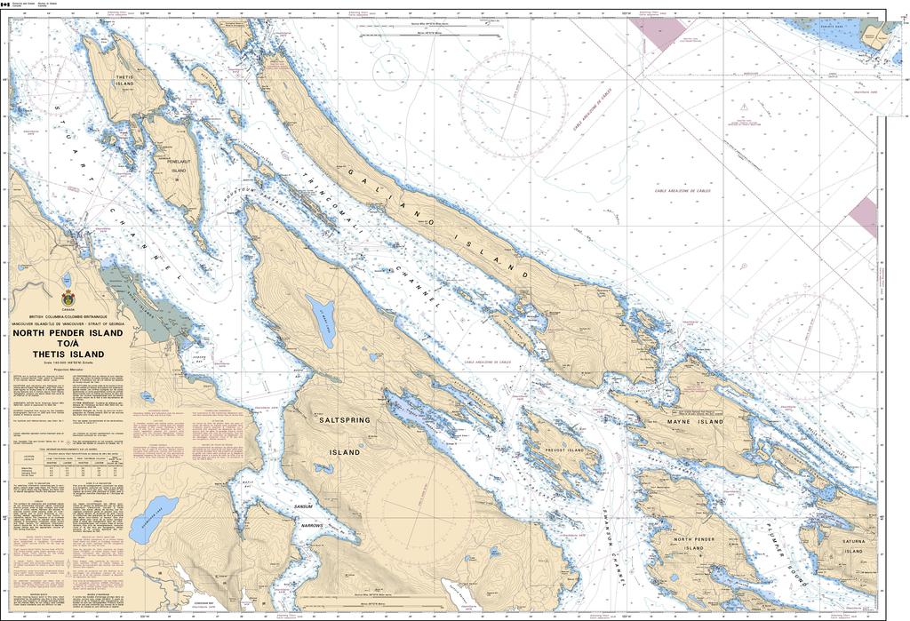
Canadian Nautical Chart #3442 - North Pender Island to Thetis Island
Canadian Nautical Chart #3442 - North Pender Island to Thetis Island
Couldn't load pickup availability
Share
Chart a course through one of British Columbia's most scenic cruising grounds with Canadian Nautical Chart #3442 – North Pender Island to Thetis Island! Whether you're planning your next voyage or creating a coastal-inspired space, this detailed chart is the perfect blend of maritime function and nautical style.
Covering the waters between North Pender Island and Thetis Island at a detailed 1:40,000 scale, this Canadian Hydrographic Service chart includes popular destinations and waterways such as North Pender Island, Thetis Island, Prevost Island, Ganges Harbour, Trincomali Channel, Captain Passage, and Swanson Channel. These picturesque Gulf Islands have welcomed mariners for centuries, and the region's rich maritime history includes Captain George Vancouver's 1792 survey that helped map much of the Pacific Northwest coastline.
Measuring an impressive 49" x 36", this chart delivers exceptional detail for trip planning, route study, coastal reference, or display. Frame it to create stunning nautical wall décor in your home, office, cabin, or yacht, or keep it on hand as an inspiring reference for future adventures. Equal parts exploration tool and coastal artwork, Canadian Nautical Chart #3442 is a timeless tribute to one of Canada's most beloved boating destinations.
SKU: SKU:CHY3442
View full details