International Travel Maps
Canada's Maritime Provinces Travel & Reference Map by ITMB
Canada's Maritime Provinces Travel & Reference Map by ITMB
Couldn't load pickup availability
Share
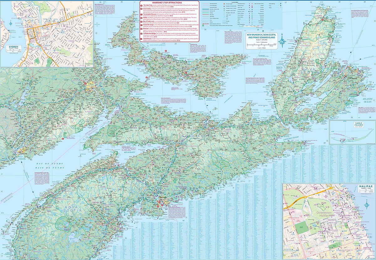
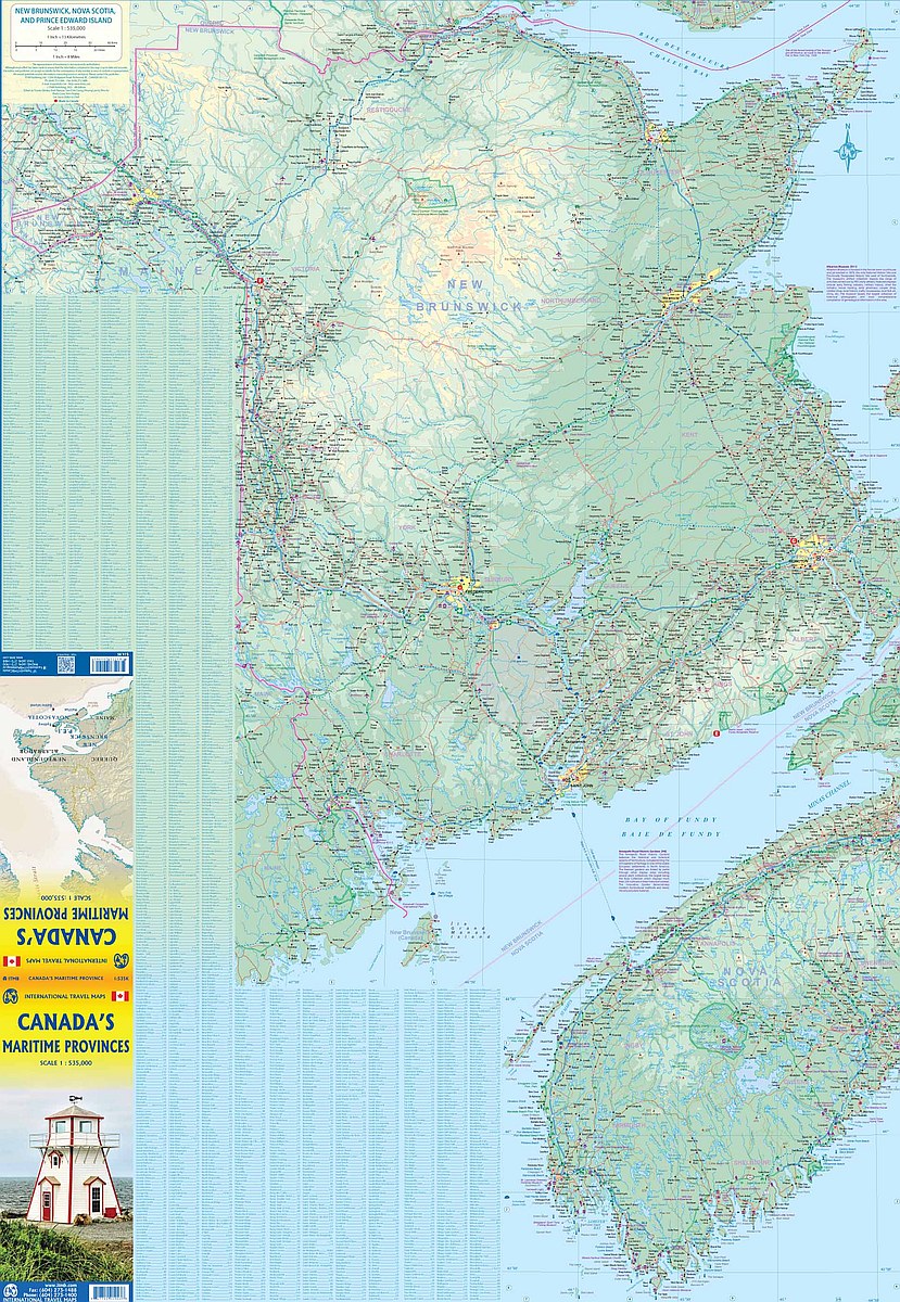
Discover the charm of Atlantic Canada with ITMB’s double-sided, folded Canada’s Maritime Provinces Travel & Reference Map at a scale of 1:535,000. Covering Nova Scotia, New Brunswick, and Prince Edward Island, this map is your guide to a region steeped in history and natural beauty.
Once a refuge for settlers after the American Revolution, today the Maritimes welcome visitors with friendly towns, coastal villages, and endless scenic vistas. Explore the beloved Anne of Green Gables farm on Prince Edward Island, wander the massive reconstructed Fort Louisbourg on Cape Breton Island, and experience the vibrant harbor city of Halifax, rich with culture and history. Insets of Sydney and Halifax provide added detail for easy navigation.
With clear road classifications, rivers, lakes, parks, airports, and countless points of interest, this 27" x 39" map is perfect for planning road trips and adventures across Moncton, Charlottetown, Saint John, and beyond.