International Travel Maps
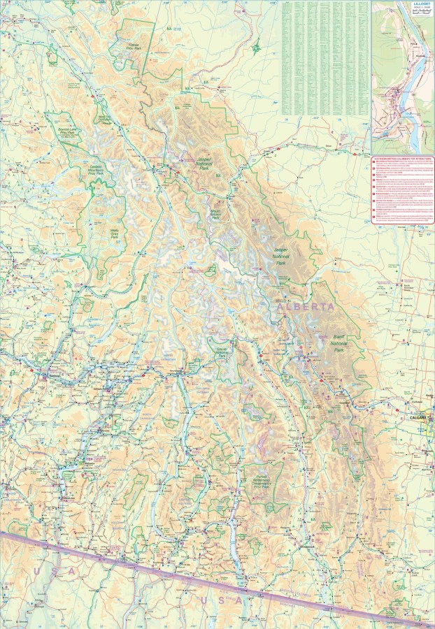
British Columbia (South) Travel & Reference Map by ITMB
British Columbia (South) Travel & Reference Map by ITMB
Couldn't load pickup availability
Share
Explore the spectacular southern half of British Columbia with the British Columbia (South) Travel & Reference Map by ITMB. At 27" x 39" and a useful 1:750,000 scale, this double-sided map gives travelers an expansive view of mountains, highways, parks, campgrounds, communities, and scenic routes from the U.S. border north to Jasper National Park and east from the Pacific Ocean to Calgary, Alberta.
Plan unforgettable adventures to Vancouver Island, wander through vibrant Vancouver, or marvel at the rugged peaks of the Canadian Rockies. Popular highlights include Victoria’s historic Inner Harbour, Vancouver’s Stanley Park, and the breathtaking mountain scenery of Banff and Jasper National Parks. Insets of central Vancouver and Victoria make city exploration easy, while detailed road coverage connects the many towns and attractions throughout the interior.
British Columbia joined Canada in 1871, with the promise of a transcontinental railway helping tie this far-western province to the rest of the country. Today, its diverse landscapes make it a dream destination for road trips and RV adventures. With roads, rivers, lakes, airports, national parks, points of interest, and more, this British Columbia map is an ideal travel companion for exploring one of Canada’s most spectacular regions.
SKU: SKU:ITMBCS
View full details