International Travel Maps
British Columbia & Alberta Rockies Travel & Reference Map by ITMB
British Columbia & Alberta Rockies Travel & Reference Map by ITMB
Couldn't load pickup availability
Share
Hit the road for the Canadian Rockies with the British Columbia & Alberta Rockies Travel & Reference Map by ITMB, a double-sided road map packed with big scenery and practical detail. Covering an enormous stretch of western Canada at a useful 1:750,000 scale, this 27" x 39" map connects mountain adventures, scenic drives, and unforgettable destinations.
Trace the dramatic Continental Divide, where the boundary between British Columbia and Alberta follows the height of land separating Pacific-bound rivers from waters flowing toward Hudson Bay. The Rockies themselves were born from a colossal tectonic collision, creating spectacular formations like Mount Rundle and postcard-perfect Lake Louise and Emerald Lake.
Explore popular highlights including Banff National Park, Jasper National Park, and Lake Louise, while discovering why this region became one of North America’s most treasured wilderness destinations. Banff, established in the 1880s, is the world’s second-oldest national park and helped inspire the modern protected-park movement.
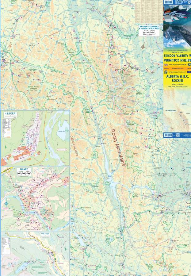
Detailed insets of Calgary, Banff, Lake Louise, and Jasper make trip planning easy. The legend covers roads, highways, lakes, rivers, national parks, airports, and points of interest—everything you need on one adventure-ready sheet.
SKU: SKU:ITMBCALBROCKIES
View full details