National Geographic
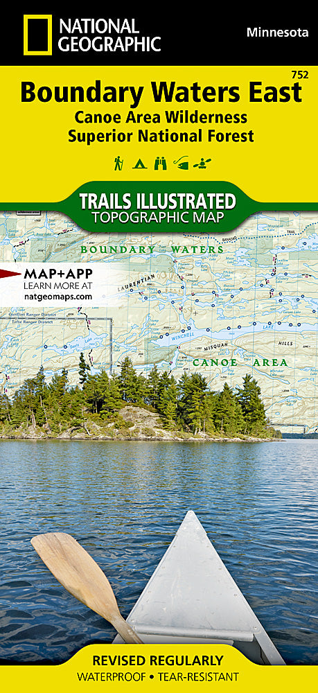
Boundary Waters Canoe Area Wilderness East Trails Illustrated Map #752
Boundary Waters Canoe Area Wilderness East Trails Illustrated Map #752
Couldn't load pickup availability
Share
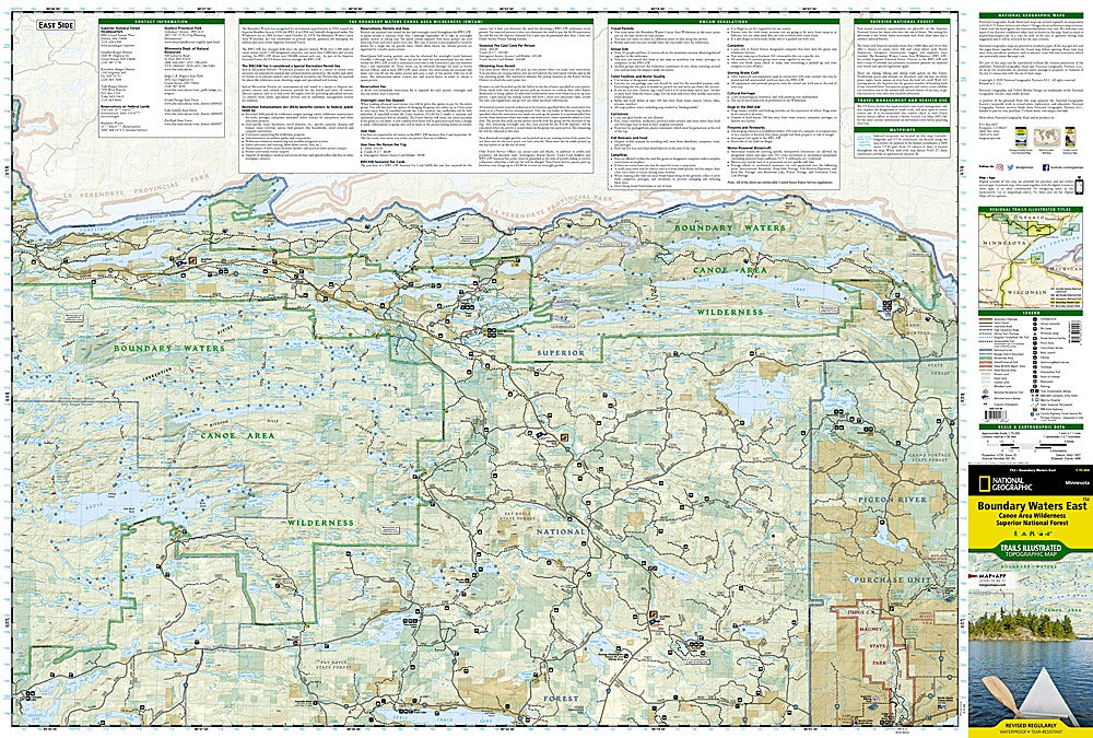
Discover the wild beauty of northeastern Minnesota with National Geographic’s Boundary Waters Canoe Area Wilderness East Trails Illustrated Map #752. Covering a pristine portion of Superior National Forest, this detailed map guides adventurers through a landscape once traveled by Native Americans, French missionaries, and early explorers. Paddle the quiet waters of Lake Isabella State Forest, hike to Minnesota’s highest point at Eagle Mountain, or explore the fascinating exhibits at the Chik-Wauk Museum and Nature Center.
Featuring the Kekekabic and Border Route trails along with the scenic Gunflint Trail National Scenic Byway, this waterproof, tear-resistant map is perfect for year-round activities including hiking, biking, snowmobiling, and cross-country skiing. Boaters will appreciate details on portages, horsepower restrictions, and fishing spots, while campers can easily locate beaches, campgrounds, and boat launches. With contour lines, elevations, and a full UTM grid for GPS navigation, this map is an indispensable companion for exploring one of America’s most treasured wilderness areas.
SKU: SKU:TRA752
View full details