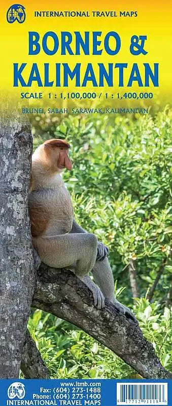
International Travel Maps
Borneo Road & Travel Map
Borneo Road & Travel Map
Couldn't load pickup availability
Share
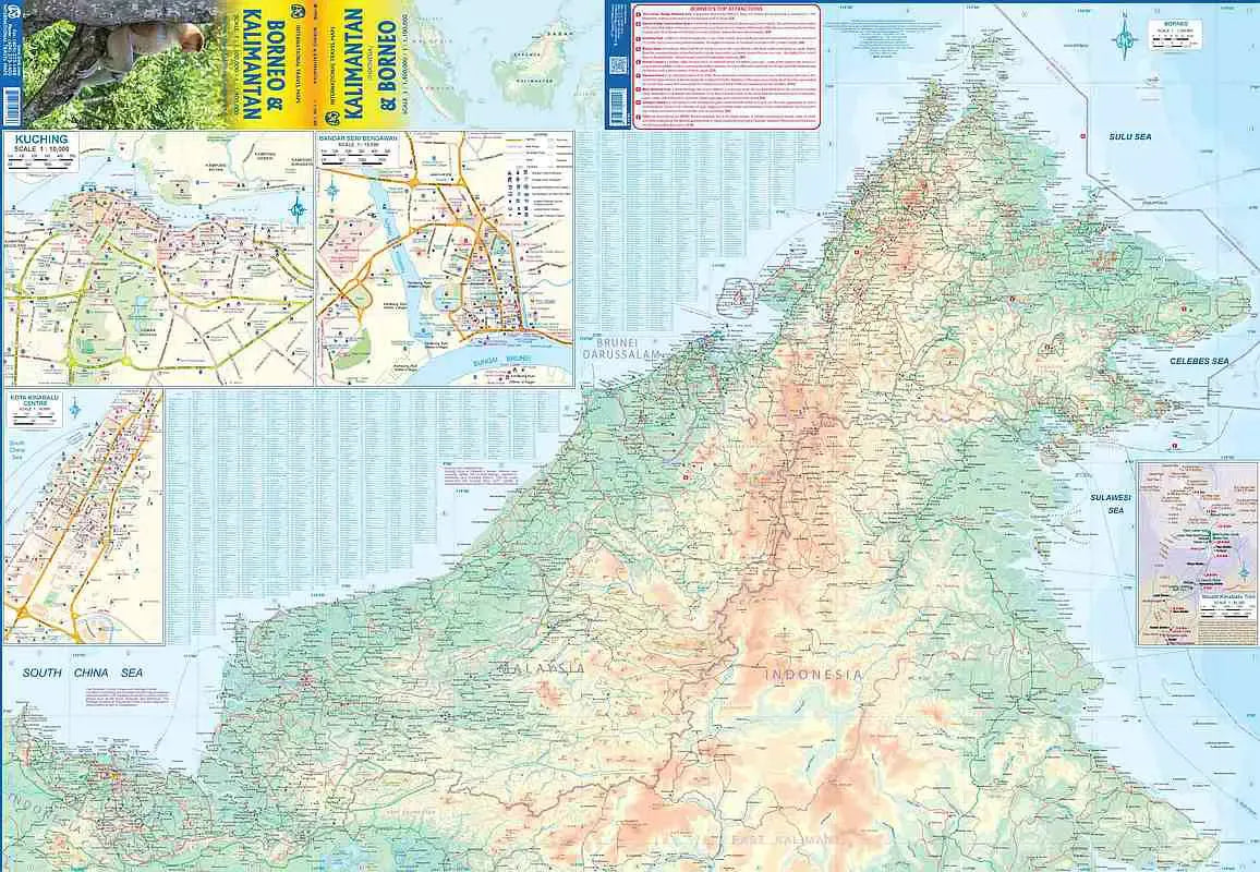
Borneo Road & Travel Map ITMB: Explore the unique and diverse landscapes of Borneo with ITMB’s double-sided, folded travel map, perfectly scaled at 1:100,000 & 1:1,400,000. The front side of this map highlights the northern part of the island, featuring Malaysian Sabah and Sarawak, along with Brunei. Discover iconic locations like Kota Kinabalu, known for its bustling waterfront and gateway to Mount Kinabalu, Malaysia’s tallest peak. This Borneo Road & Travel Map includes insets of Kuching, the capital of Sarawak, celebrated for its cultural heritage, and Bandar Seri Begawan, Brunei’s capital, where stunning mosques and palaces captivate visitors.
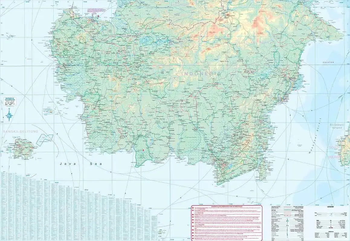
The back side of the map showcases the lesser-explored, southern part of the island, covering the Kalimantan region of Indonesia, where new infrastructure, including a recently opened motorway between Samarinda and Balikpapan, offers fresh opportunities for adventure. A major road winds along the scenic eastern and southern coastlines toward Pontianak, inviting travelers to experience Borneo’s untamed wilderness and early-stage tourism.
The Borneo Road & Travel Map’s extensive legend categorizes roads, rivers, lakes, airports, national parks, and more, ensuring explorers stay well-oriented on their journey. Whether navigating urban centers or venturing into untouched rainforests, this 27" x 39" map is an essential tool for travelers seeking both convenience and inspiration in this extraordinary part of the world.