

National Forest Service
Bitterroot National Forest - North Half National Forest Service Map
Bitterroot National Forest - North Half National Forest Service Map
Couldn't load pickup availability
Share
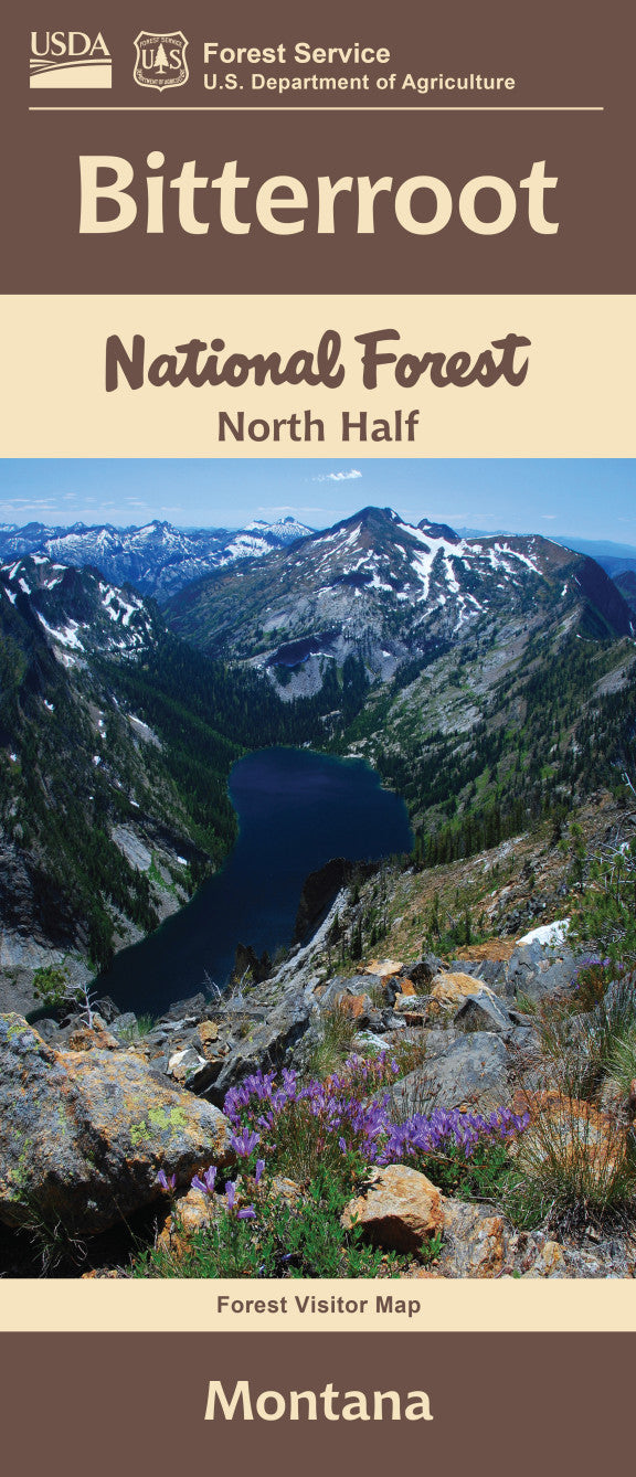
Discover the natural beauty of western Montana with the Bitterroot National Forest Service Map (North Half). Nestled along the Montana-Idaho border, this detailed map guides you through the heart of the Northern Rockies.
Explore the scenic vistas of Lake Como, hike the dramatic Blodgett Canyon, or soak up history at the Darby Ranger Station. The region teems with towering ponderosa pines, vibrant wildflowers, and abundant wildlife—keep an eye out for elk, black bears, and bald eagles.
Whether you're an avid hiker, camper, or nature lover, this map is an essential companion for planning your adventure. Covering key trails, campgrounds, and access points, it helps you navigate the rugged landscape with confidence. Visit Bitterroot National Forest and experience Montana’s wild beauty—your adventure starts here!
