National Geographic
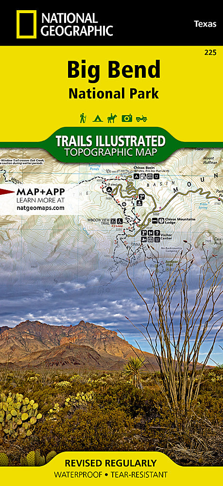
Big Bend National Park Trails Illustrated Topographic Map #225
Big Bend National Park Trails Illustrated Topographic Map #225
Couldn't load pickup availability
Share
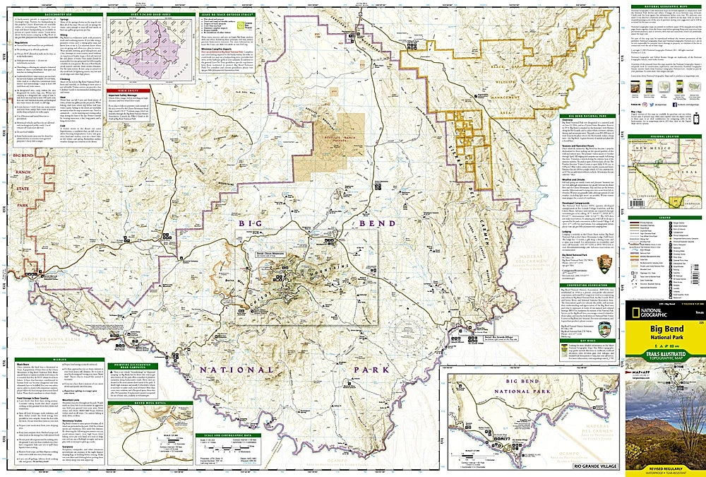
Discover the wild beauty of West Texas with the Big Bend National Park Trails Illustrated Topographic Map #225 by National Geographic. Covering the largest protected area of the Chihuahuan Desert, this waterproof, tear-resistant map is your ultimate guide to a land of rugged mountains, winding rivers, and desert vistas.
Explore top attractions like the soaring Chisos Mountains, the vibrant Rio Grande Village, and the dramatic cliffs of Burro Mesa. Rich with history, Big Bend was once home to ancient indigenous cultures and later served as a frontier for ranchers and miners. Today, it’s a haven for hikers, paddlers, and stargazers alike. Clearly marked trails, detailed topography, road classifications, and river mileages make navigation easy, while backcountry campsite charts and safety tips help you plan your adventure.
Whether trekking remote canyons or paddling the Rio Grande, this map ensures you’ll experience Big Bend’s breathtaking landscapes with confidence and ease.