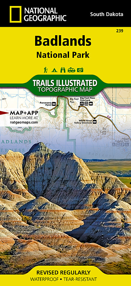

National Geographic
Badlands National Park Trails Illustrated Topographic Map #239
Badlands National Park Trails Illustrated Topographic Map #239
Couldn't load pickup availability
Share
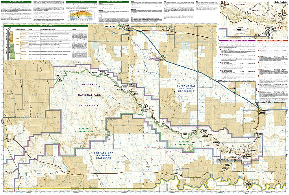
Explore the dramatic landscapes of South Dakota with the Badlands National Park Trails Illustrated Topographic Map #239 by National Geographic. This detailed, waterproof map is your ultimate guide to one of America’s most geologically fascinating parks. Navigate highlights like the iconic Badlands Loop Road, the panoramic vistas at Pinnacles Overlook, and the rugged wilderness of the Castle Trail—the park’s longest hiking route. The map covers the entire park, including the Palmer Creek Unit, Buffalo Gap National Grassland, and adjacent Pine Ridge Indian Reservation.
Once home to ancient sea beds, the Badlands hold a rich fossil record, offering a glimpse into 75 million years of Earth’s history. Today, it's a protected habitat for bison, bighorn sheep, and prairie dogs. Whether you’re venturing into Cedar Pass or exploring remote backcountry routes, this topographic map includes contour lines, trail descriptions, GPS grids, and backcountry guidance—perfect for hikers, campers, and history-loving explorers alike.