Freytag & Berndt
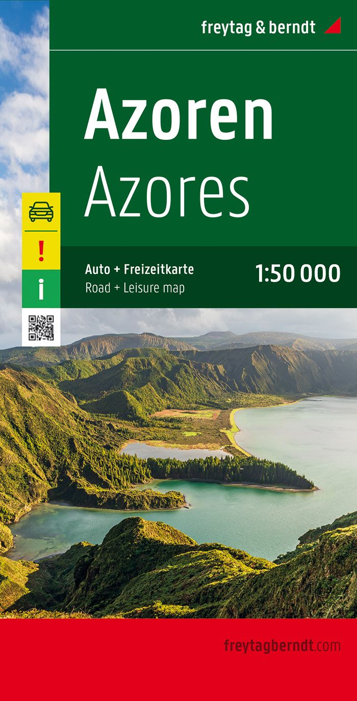
Azores Islands Road Map by Freytag & Berndt
Azores Islands Road Map by Freytag & Berndt
Couldn't load pickup availability
Share
Navigate the stunning Azores with confidence using Freytag & Berndt’s detailed Road Map at a scale of 1:50,000. Whether you’re cruising São Miguel’s winding coastal roads, admiring the volcanic caldera of Sete Cidades, or exploring the geothermal marvels of Furnas, this map is your perfect travel companion. Plan scenic drives to the dramatic cliffs of Flores or take a ferry to Pico Island to view Portugal’s highest peak.
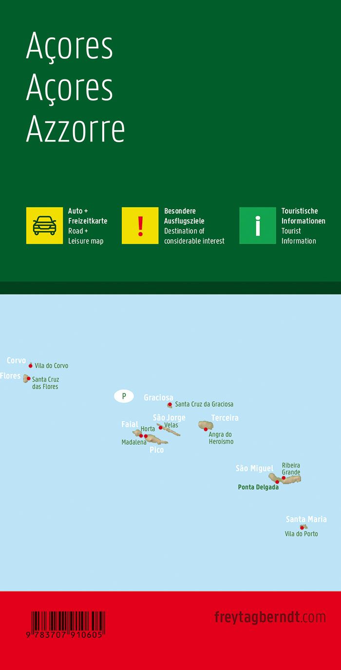
This beautifully designed map includes an extensive index of towns, accurate distances, ferry routes, airports, and even minor roads, ideal for road-tripping by car, motorcycle, or campervan. Discover where whalers once launched their boats from Faial’s shores or follow the roads that wind through ancient laurel forests.
Whether you're chasing waterfalls, soaking in hot springs, or hunting for hidden viewpoints, this map ensures you won’t miss a single wonder in this mid-Atlantic paradise. Fold it up and take the adventure with you.