1
/
of
2
National Geographic
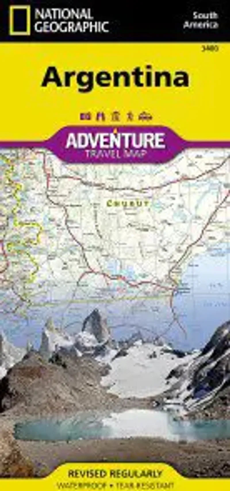
Argentina Travel Map
Argentina Travel Map
Regular price
$14.95 USD
Regular price
Sale price
$14.95 USD
Unit price
/
per
Couldn't load pickup availability
Share
Travel Map of Argentina printed on waterproof, tear-resistant paper.
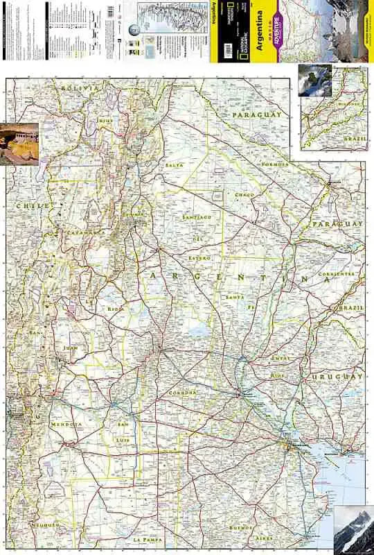
Includes major cities and towns with an index, a clearly marked road network complete with distances and designations for major highways and limited access highways. The north side of the Argentina map details the most highly populated areas of the country including the provinces of Buenos Aires, Córdoba, and Santa Fe as well as the impressive landscape of the Cordillera de los Andes bordering Chile on the northwest. Vineyards in Mendoza, Argentina’s world-renowned wine producing province are included, as are ski areas in this popular tourist region. An inset map shows the small province of Misiones that juts into the neighboring countries of Brazil and Paraguay. The south side of the map details Argentina’s extensive coastline from Mar Del Plata to Tierra Del Fuego highlighting beaches, preserves, and areas noted for fishing and surfing. Scale, 1:1,000,000.
Includes major cities and towns with an index, a clearly marked road network complete with distances and designations for major highways and limited access highways. The north side of the Argentina map details the most highly populated areas of the country including the provinces of Buenos Aires, Córdoba, and Santa Fe as well as the impressive landscape of the Cordillera de los Andes bordering Chile on the northwest. Vineyards in Mendoza, Argentina’s world-renowned wine producing province are included, as are ski areas in this popular tourist region. An inset map shows the small province of Misiones that juts into the neighboring countries of Brazil and Paraguay. The south side of the map details Argentina’s extensive coastline from Mar Del Plata to Tierra Del Fuego highlighting beaches, preserves, and areas noted for fishing and surfing. Scale, 1:1,000,000.