National Geographic
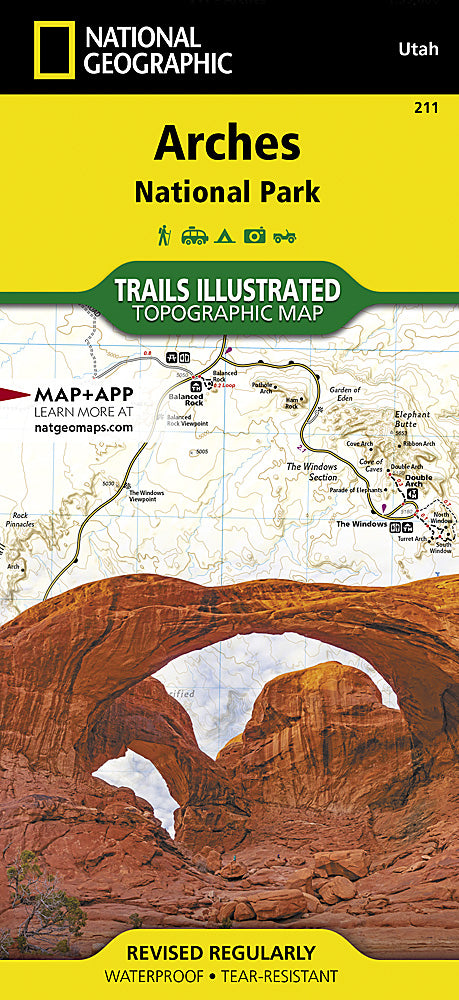
Arches National Park Trails Illustrated Topographic Map #211
Arches National Park Trails Illustrated Topographic Map #211
Couldn't load pickup availability
Share
Discover the red rock magic of Arches National Park with National Geographic’s Trails Illustrated Topographic Map #211. This waterproof, tear-resistant map is your ultimate adventure companion, highlighting over 2,000 natural stone arches and dramatic landmarks like Delicate Arch, Devils Garden, and the Windows Section. Located just outside Moab in eastern Utah, Arches is a geological marvel shaped by millions of years of erosion, once home to the ancestral Puebloans and later explored by early settlers like the Wolfe family—whose historic ranch still stands today.
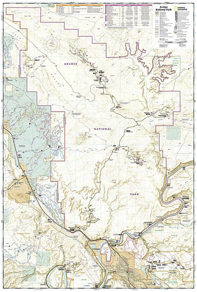
This detailed topographic map is packed with visitor-friendly features including clearly marked trails, mileages, and color-coded mountain biking routes. It also includes info on the Sand Flats Recreation Area and the Sovereign Trail system. Whether you’re hiking, biking, or paddling the Colorado River, this map helps you navigate the terrain with ease using contour lines, elevation data, and a full UTM grid for GPS navigation. Perfect for planning, exploring, and reliving your adventure.