National Geographic
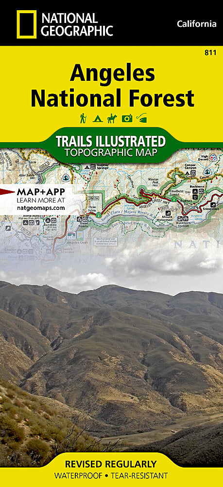
Angeles National Forest Trails Illustrated Map #811
Angeles National Forest Trails Illustrated Map #811
Couldn't load pickup availability
Share
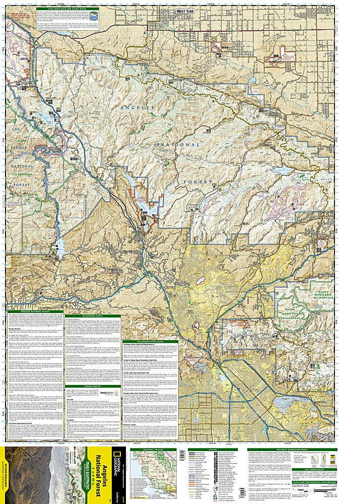
Discover the rugged beauty of Southern California with the Angeles National Forest Trails Illustrated Map #811 by National Geographic. Covering the expansive forest just northeast of Los Angeles, this waterproof, tear-resistant map is your ultimate guide to adventure in the San Gabriel Mountains.
Explore three of the region’s most popular destinations: the panoramic heights of Mount Baldy, the scenic Bridge to Nowhere hike, and the historic Mount Wilson Observatory, where astronomers once revolutionized our understanding of the universe. Established in 1908, the Angeles National Forest was one of the first national forests in California, offering both rich history and diverse recreational opportunities.
Whether you’re hiking, backpacking, or mountain biking, this map’s detailed topography and full UTM grid make GPS navigation easy and accurate. With its stunning mix of canyons, peaks, and pine forests, this map is a must-have tool for anyone looking to explore L.A.’s wild and beautiful backyard.
- 1" = 1.3 miles / 1 cm = .8 km
- Contour Interval 100 ft
- waterproof material