1
/
of
2
National Geographic
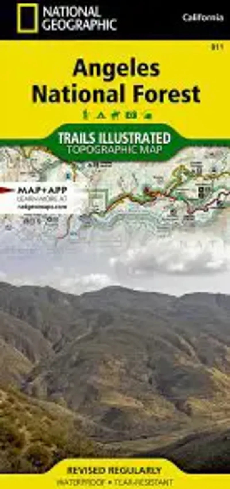
Angeles National Forest Map
Angeles National Forest Map
Regular price
$14.95 USD
Regular price
Sale price
$14.95 USD
Unit price
/
per
Couldn't load pickup availability
Share
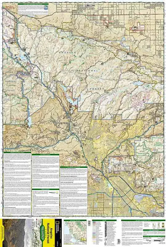
National Geographic Map 811 Angeles National Forest map shows the wilderness areas located northeast of Los Angeles. Shown on one side is the western portion which has recreational access for the areas near Santa Clarita including Castaic Lake, Pyramid Lake and portions of the Magic Mountain Wilderness. The eastern portion shows the areas north of Pasadena including the San Gabriel Wilderness, Sheep Mountain Wilderness and Pleasant View Ridge Wilderness. A portion of the PCT runs through here, and it is highlighted on the map.
- 1" = 1.3 miles / 1 cm = .8 km
- Contour Interval 100 ft
- waterproof material