

Rand McNally
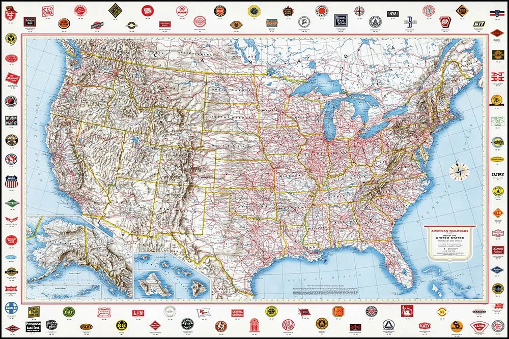
American Railroads Vintage U.S. Map - 1959 - Rand McNally
American Railroads Vintage U.S. Map - 1959 - Rand McNally
Couldn't load pickup availability
Share
Bring the golden age of American railroading to your walls with this striking 1959 American Railroads Vintage U.S. Map by Rand McNally. It’s a colorful piece of railroad history and classic Americana that makes an instant conversation starter.
Originally created for the Association of American Railroads, this vintage railroad map captures the impressive reach of America’s rail network during the mid-20th century. More than 90 railroad logos frame the map, while bold red rail lines crisscross all 50 states and extend into southern Canada and Mexico. Full-color printing and a distinctive mid-century design give this vintage U.S. map plenty of visual punch.
Measuring 36" x 24", the map is printed on heavyweight premium coated paper with a smooth, bright white matte finish. Perfect for railroad enthusiasts, map collectors, history buffs, and vintage décor lovers, it looks fantastic in a home office, library, study, living room, or conference room.
SKU: SKU:RMCVRR
View full details