1
/
of
2
National Geographic
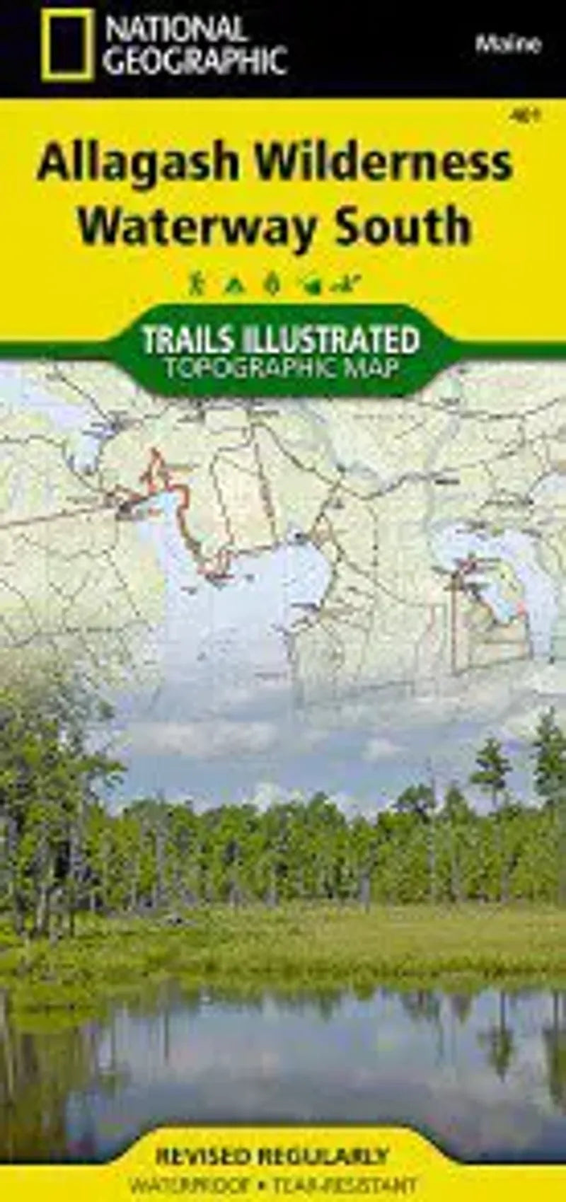
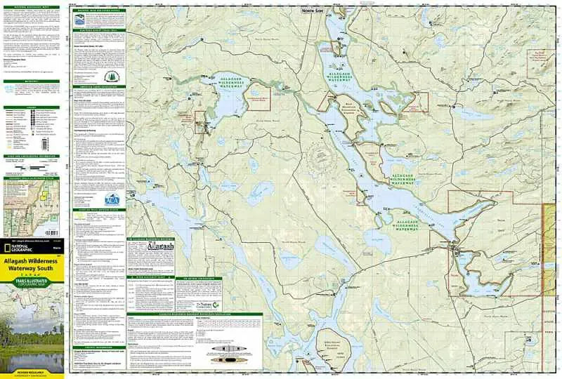
Allagash Wilderness Waterway South Map
Allagash Wilderness Waterway South Map
Regular price
$14.95 USD
Regular price
Sale price
$14.95 USD
Unit price
/
per
Couldn't load pickup availability
Share
National Geographic Map #401 Allagash Wilderness Waterway South in Maine shows the southern portion of this magnificent 92 mile long adventure through rivers, streams, lakes and ponds in northern Maine. This map covers the areas around Seboomook Lake, Northern Moosehead Lake, Lobster Lake, Chesuncook Lake, Chamberlain Lake, Caucomgomoc Lake and more, showing campsites, boat launches, canoe carry down locations, and basic guidelines and restrictions for watercraft.
- 1" = 1 mile / 1 cm = .6 kilometers
- Contour Interval 50 Feet
- Waterproof