1
/
of
2
National Geographic
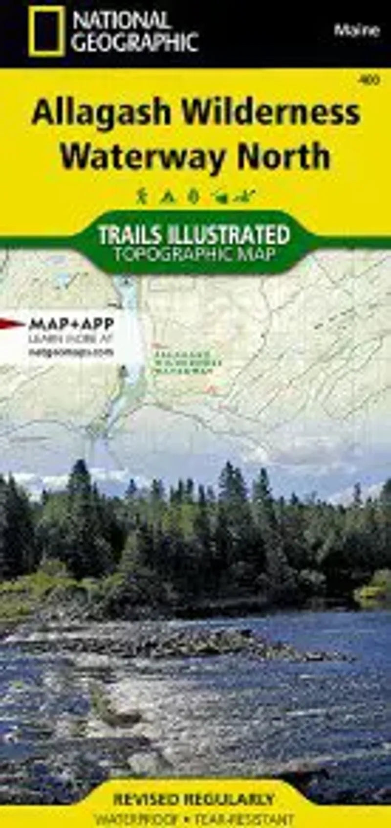
Allagash Wilderness Waterway North Map
Allagash Wilderness Waterway North Map
Regular price
$14.95 USD
Regular price
Sale price
$14.95 USD
Unit price
/
per
Couldn't load pickup availability
Share
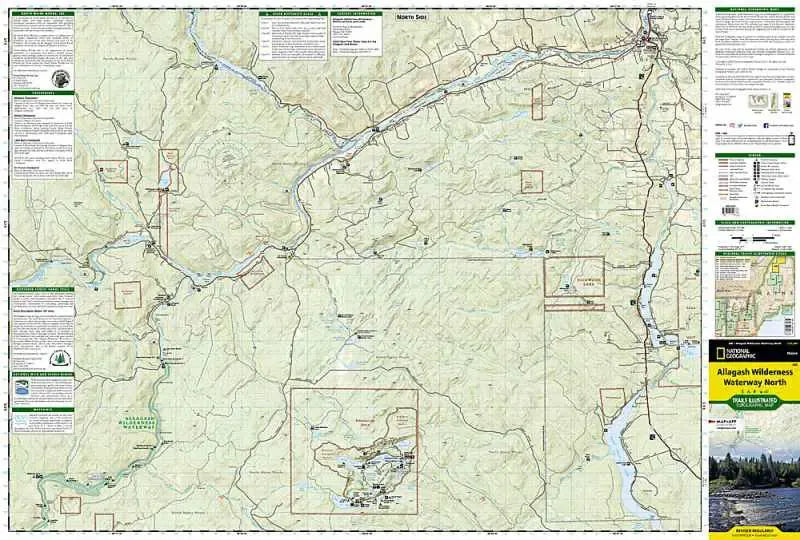
National Geographic Map #400 Allagash Wilderness Waterway North in Maine show the Ranger Station and canoe carry-in site at Churchill Dam, and the river route as it flows north through Umsaskis Lake, Long Lake, Harvey Pond, Round Pond and on up to the confluence with the Saint John River. The map continues coverage following the Saint John River to Fort Kent Village. Locations of rapids are noted, as well as campsites and watercraft regulation.
- 1" = 1 mile / 1 cm = .6 kilometers
- Contour Interval 50 Feet
- Waterproof